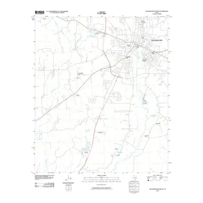
2010 Map of Nacogdoches South
USGS Topo · Published 2010About this map
Stephen F Austin State University and the southern reaches of Nacogdoches define the northern portion of this East Texas survey. The landscape is deeply tied to its water systems, particularly Bayou La Nana and Morral Bayou, which drain the rolling terrain between Fredonia Hill and Orton Hill. Three distinct preservation areas—the Zion Hill Historic District, Virginia Avenue Historic District, and Sterne-Hoya Historic District—mark the early urban core and its growth outward from the city center.
Find a feature on this map
34 named features on this map. Tap any name to fly to it.
Don’t see what you’re looking for? This feature index may not catch every label — zoom into the map to look around manually.
Map Details
Editions of this 2010 Nacogdoches South Map
This is the sole edition of this map. No revisions or reprints were ever made.
Other maps of this area

1949 · Lufkin
USGS Topo · 1:62,500

1949 · Platt
USGS Topo · 1:24,000

1949 · Clawson
USGS Topo · 1:24,000

1950 · Platt
USGS Topo · 1:24,000

1950 · Clawson
USGS Topo · 1:24,000

1950 · Redland
USGS Topo · 1:24,000

1952 · Douglass
USGS Topo · 1:62,500

1952 · Nacogdoches
USGS Topo · 1:62,500

1953 · Palestine
USGS Topo · 1:250,000

1957 · Palestine
USGS Topo · 1:250,000
Featured Places
- Nacogdoches, TX
- Hayward Junction, Nacogdoches
- Fredonia Hill, Nacogdoches
- Orton Hill, Nacogdoches
- Nacogdoches County, TX