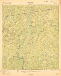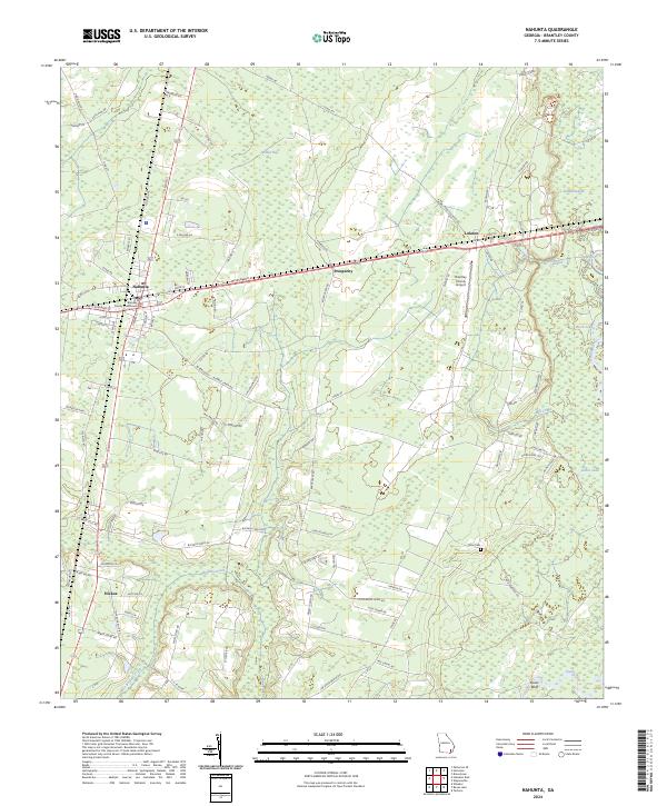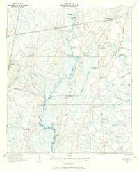
1917 Map of Nahunta
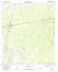
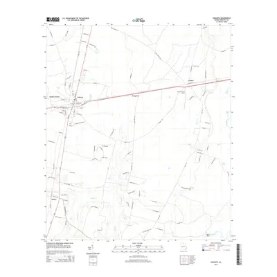
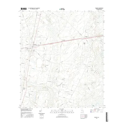
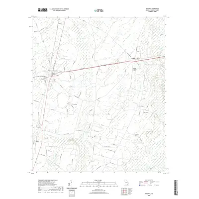
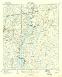
USGS Topo · Published 1970About this map
Satilla River meanders through a landscape of coastal wetlands and cypress stands in this detailed 1917 military survey. The corridor along the Atlantic Coast Line railroad anchors the northern settlements of Nahunta and Atkinson, while the interior remains a mosaic of named swamps like Redcap Swamp and Whiteoak Swamp. The social fabric of the early twentieth century is revealed through a dense network of country schools, including Pine Bloom School, Riverview School, and North Camden School, which served the scattered farming and timber communities of the era.
Find a feature on this map
50 named features on this map. Tap any name to fly to it.
Don’t see what you’re looking for? This feature index may not catch every label — zoom into the map to look around manually.
Map Details
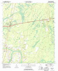
Editions of this 1917 Nahunta Map
2 editions found
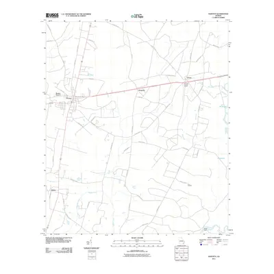
Historical Maps of Nahunta Through Time
9 maps found