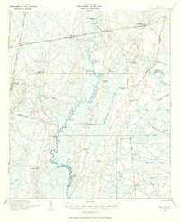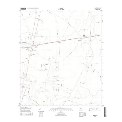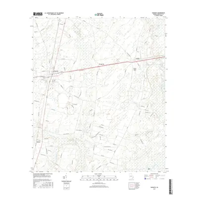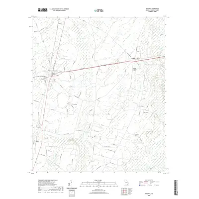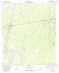
1978 Map of Nahunta
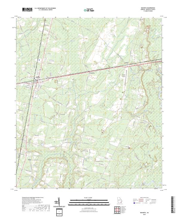
USGS Topo · Published 1987About this map
The Satilla River and its meandering tributaries, including Little Buffalo Creek and Mill Creek, define the landscape of Brantley County in this late 1970s record. The city of Nahunta sits at a crossroads of commerce, characterized by its rail connections on the CSX line and utility infrastructure like the Lookout Tower and Substation. This era shows a community balancing local industry with the surrounding wetlands, evidenced by the numerous Sandpit locations and specialized facilities such as the Industrial Waste Pond and Sewage Disposal Pond. Toward the edges of the quadrangle, smaller settlements like Lulaton, Raybon, and Hickox appear as quiet clusters of activity. Rural life is anchored by family-named landmarks and country congregations, from Knox Cemetery to Smyrna Church and New Hope Church. The presence of the Brantley County Airport and various Jeep Trails provides a look at how the region was navigated during this period of development.
Find a feature on this map
29 named features on this map. Tap any name to fly to it.
Don’t see what you’re looking for? This feature index may not catch every label — zoom into the map to look around manually.
Map Details
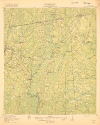
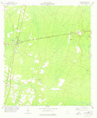
Editions of this 1978 Nahunta Map
2 editions found
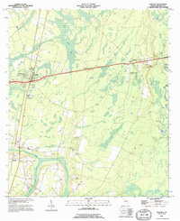
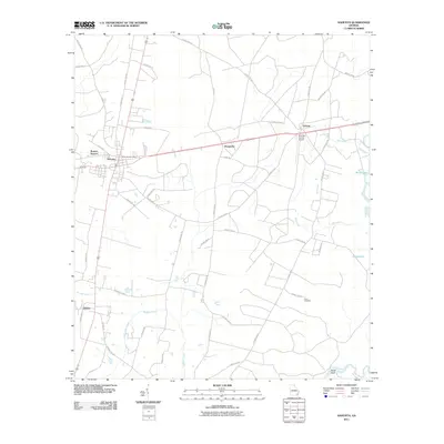
Historical Maps of Nahunta Through Time
9 maps found