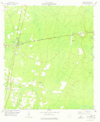
1978 Map of Nahunta
USGS Topo · Published 1978About this map
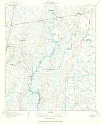
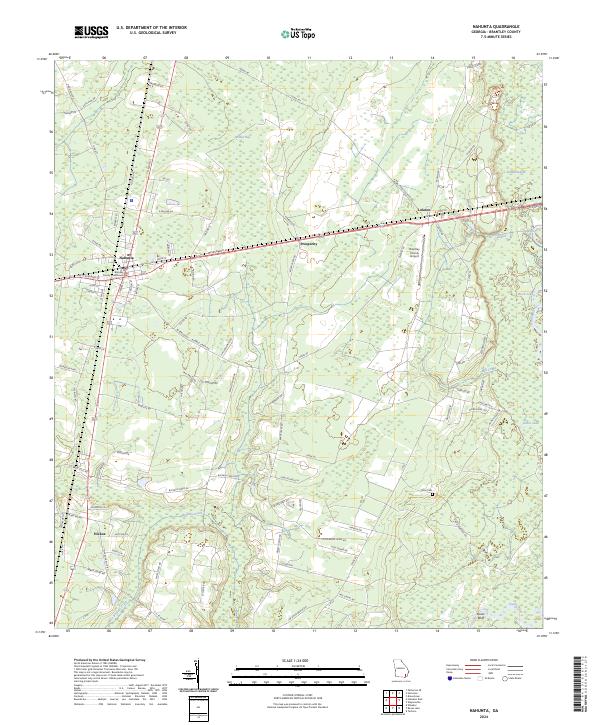
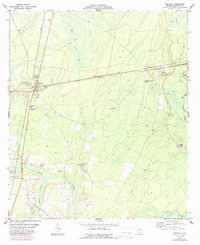
The Seaboard Coast Line railroad dictates the settlement patterns of this 1970s Brantley County landscape, connecting the county seat at Nahunta to the smaller communities of Prosperity and Lulaton. The terrain is characterized by low-lying wetlands and complex water systems, including the wide Satilla River and the sprawling Satilla Swamp to the east, which contrast with the industrial activity seen at several Sandpit sites and the Brantley County Airport. Local history is anchored by rural landmarks such as Raybon Ch, Grace Ch, and Smyrna Ch, alongside well-documented burial grounds like Little Buffalo Cem and Knox Cem. Further south, the community of Hickox lies near the confluence of Little Buffalo Creek and Buffalo Creek, illustrating how the region's early development followed these natural drainages even as modern infrastructure like the Lookout Tower and sewage ponds emerged.
Find a feature on this map
26 named features on this map. Tap any name to fly to it.
Don’t see what you’re looking for? This feature index may not catch every label — zoom into the map to look around manually.
Map Details
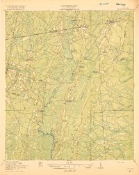
Editions of this 1978 Nahunta Map
2 editions found
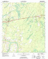
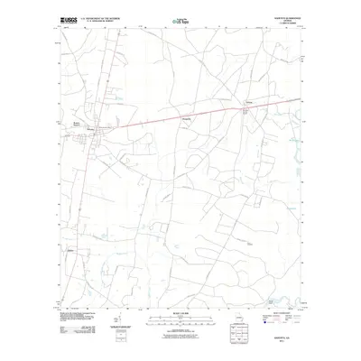
Historical Maps of Nahunta Through Time
9 maps found