1993 Map of Nahunta
USGS Topo · Published 1995About this map
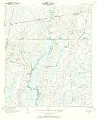
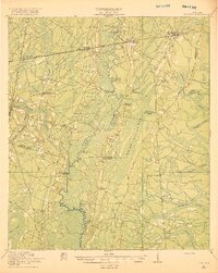
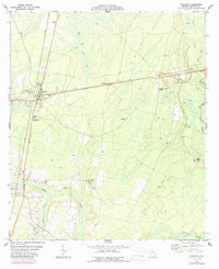
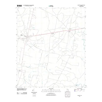
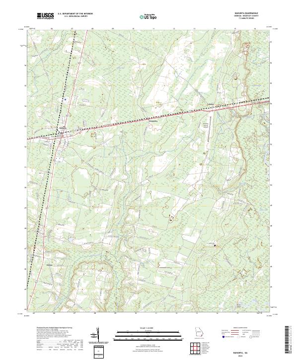
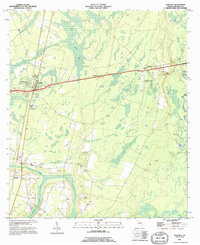
Nahunta serves as the primary hub of this Brantley County landscape, where the intersection of highways and rail lines anchors the local economy. Moving east from the town center, the terrain is characterized by the low-lying reaches of the Satilla River and its associated wetlands, including Dead River and Buffalo Creek. The map documents a mix of industrial and civic infrastructure, from the Brantley County Airport and a prominent Lookout Tower near the town core to the Sewage Disposal Pond and multiple Sandpit excavations that dot the sandy soils. Small rural nodes like Prosperity, Lulaton, and Hickox are scattered throughout, while the Knox Cem and other small burial grounds provide points of interest for those tracing family lineages. The presence of numerous 4wd tracks weaving through the swampy eastern sectors suggests a region defined by timber management and seasonal water levels along Gator Lake and Buck Lake.
Find a feature on this map
19 named features on this map. Tap any name to fly to it.
Don’t see what you’re looking for? This feature index may not catch every label — zoom into the map to look around manually.
Map Details
Editions of this 1993 Nahunta Map
This is the sole edition of this map. No revisions or reprints were ever made.
Historical Maps of Nahunta Through Time
9 maps found