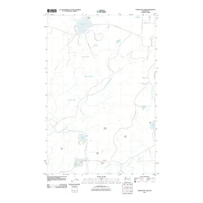
2011 Map of Nahwatzel Lake
USGS Topo · Published 2011About this map
Nahwatzel Lake and the surrounding lowland prairies of Mason County define this landscape of interconnected wetlands and timbered ridges. To the south, the community of Cloquallum serves as a local hub, anchored by the Cloquallum Grange and situated near the headwaters of Cloquallum Creek. The geography here is marked by extensive marshes and seasonally variable water bodies, most notably the large Cranberry Marsh that dominates the central portion of the quadrangle.
Find a feature on this map
43 named features on this map. Tap any name to fly to it.
Don’t see what you’re looking for? This feature index may not catch every label — zoom into the map to look around manually.
Map Details
Editions of this 2011 Nahwatzel Lake Map
This is the sole edition of this map. No revisions or reprints were ever made.
Other maps of this area

1939 · Shelton
USGS Topo · 1:62,500

1943 · Potlatch
USGS Topo · 1:62,500

1943 · Nahwatzel Lake
USGS Topo · 1:62,500

1952 · Potlatch
USGS Topo · 1:62,500

1953 · Mt Tebo
USGS Topo · 1:62,500

1953 · Shelton
USGS Topo · 1:62,500

1953 · Elma
USGS Topo · 1:62,500

1958 · Seattle
USGS Topo · 1:250,000

1962 · Seattle
USGS Topo · 1:250,000
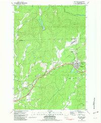
1981 · Mc Cleary
USGS Topo · 1:24,000