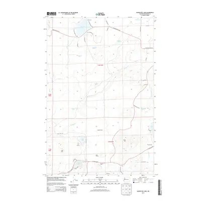
2014 Map of Nahwatzel Lake
USGS Topo · Published 2014About this map
Nahwatzel Lake sits at the northern edge of this Mason County landscape, characterized by a complex network of wetlands and open meadows that define the local geography. Significant open spaces like Goose Prairie, Buck Prairie, and Lost Prairie suggest a landscape of intermittent clearings amidst the forested terrain. The southern portion of the sheet shows more recent residential development around Lake Arrowhead, served by the Cloquallum Grange and a winding network of rural roads. Water is a dominant feature throughout, from the sprawling Cranberry Marsh and the slow-moving waters of The Stillwater to established landmarks like Hillman Fish Pond. The presence of Camp Roland and various small lakes such as Lystair Lake and Panhandle Lake highlights the area's transition into a recreational and residential corridor along the Cloquallum Cr drainage.
Find a feature on this map
52 named features on this map. Tap any name to fly to it.
Don’t see what you’re looking for? This feature index may not catch every label — zoom into the map to look around manually.
Map Details
Editions of this 2014 Nahwatzel Lake Map
This is the sole edition of this map. No revisions or reprints were ever made.
Other maps of this area

1939 · Shelton
USGS Topo · 1:62,500

1943 · Potlatch
USGS Topo · 1:62,500

1943 · Nahwatzel Lake
USGS Topo · 1:62,500

1952 · Potlatch
USGS Topo · 1:62,500

1953 · Mt Tebo
USGS Topo · 1:62,500

1953 · Shelton
USGS Topo · 1:62,500

1953 · Elma
USGS Topo · 1:62,500

1958 · Seattle
USGS Topo · 1:250,000

1962 · Seattle
USGS Topo · 1:250,000
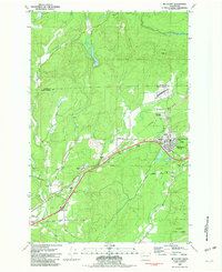
1981 · Mc Cleary
USGS Topo · 1:24,000