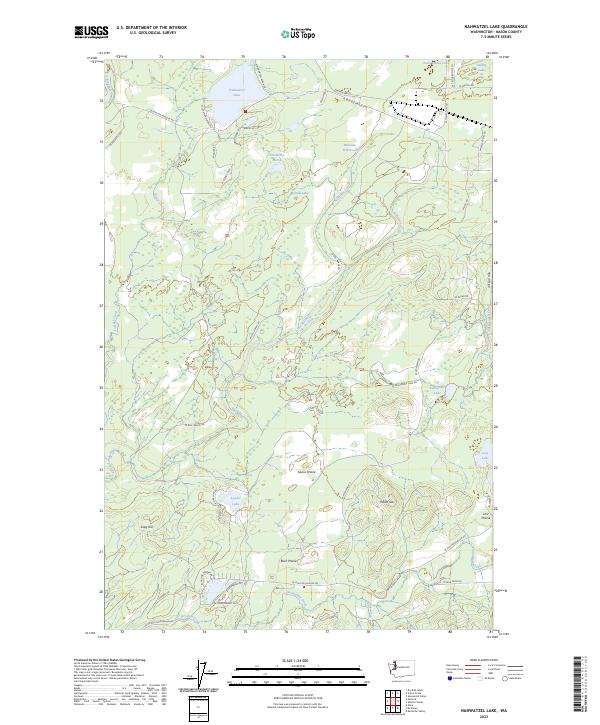
2023 Map of Nahwatzel Lake
USGS Topo · Published 2023About this map
Nahwatzel Lake and its surrounding network of smaller water bodies such as Panhandle Lake and Lystair Lake define this pocket of Mason County. The landscape is characterized by a mix of open areas like Goose Prairie and Buck Prairie, contrasted with prominent rises such as Reeves Hill and Snag Hill. A complex drainage system including Cloquallum Creek and Stillwater Creek winds through the region, supporting local ecosystems like Cranberry Marsh.
Find a feature on this map
57 named features on this map. Tap any name to fly to it.
Don’t see what you’re looking for? This feature index may not catch every label — zoom into the map to look around manually.
Map Details
Editions of this 2023 Nahwatzel Lake Map
This is the sole edition of this map. No revisions or reprints were ever made.
Other maps of this area

1939 · Shelton
USGS Topo · 1:62,500

1943 · Potlatch
USGS Topo · 1:62,500

1943 · Nahwatzel Lake
USGS Topo · 1:62,500

1952 · Potlatch
USGS Topo · 1:62,500

1953 · Mt Tebo
USGS Topo · 1:62,500

1953 · Shelton
USGS Topo · 1:62,500

1953 · Elma
USGS Topo · 1:62,500

1958 · Seattle
USGS Topo · 1:250,000

1962 · Seattle
USGS Topo · 1:250,000
1981 · Mc Cleary
USGS Topo · 1:24,000