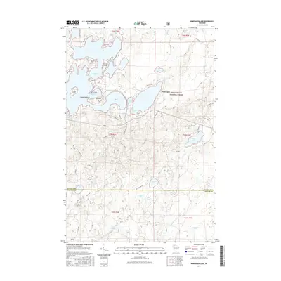
2015 Map of Namekagon Lake
USGS Topo · Published 2015About this map
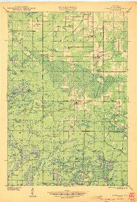
Namekagon Lake dominates the upper half of this northern Wisconsin landscape, characterized by an intricate shoreline of points and islands. Located within the Chequamegon National Forest, the region shows a dense network of forest service roads and local lanes serving the settlement of Namakagon. Named points such as Missionary Point, Juneks Point, and Eagle Point define the lake’s many bays, including Michigan Bay and Janes Bay.
Find a feature on this map
71 named features on this map. Tap any name to fly to it.
Don’t see what you’re looking for? This feature index may not catch every label — zoom into the map to look around manually.
Map Details
Editions of this 2015 Namekagon Lake Map
This is the sole edition of this map. No revisions or reprints were ever made.
Other maps of this area
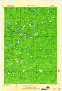
1942 · Clam Lake
USGS Topo · 1:48,000
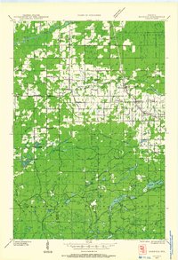
1942 · Marengo
USGS Topo · 1:48,000
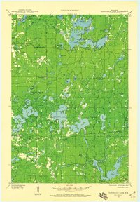
1943 · Namekagon Lake
USGS Topo · 1:48,000
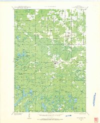
1944 · Grandview
USGS Topo · 1:48,000
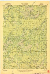
1945 · Namekagon Lake
USGS Topo · 1:48,000
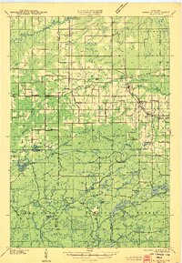
1945 · Marengo
USGS Topo · 1:48,000
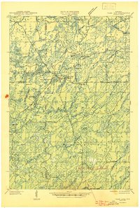
1945 · Clam Lake
USGS Topo · 1:48,000
1947 · Grandview
USGS Topo · 1:48,000

1953 · Ashland
USGS Topo · 1:250,000
1958 · Ashland
USGS Topo · 1:250,000