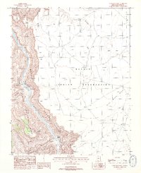
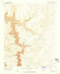
1988 Map of Nankoweap Mesa
USGS Topo · Published 1988About this map
The Colorado River carves a path through this section of the Arizona desert, marking the boundary where Grand Canyon National Park meets the western edge of the Navajo Indian Reservation. This 1988 survey, based on aerial photography from the early 1980s, reveals a landscape defined by extreme elevation changes, from the riverbed to the heights of Nankoweap Mesa. The presence of a cliff dwelling tucked into the canyon walls north of Nankoweap Creek provides evidence of ancient habitation within the sheer cliffs of Marble Canyon.
Find a feature on this map
18 named features on this map. Tap any name to fly to it.
Don’t see what you’re looking for? This feature index may not catch every label — zoom into the map to look around manually.
Map Details
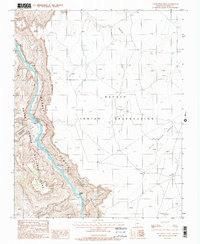
Editions of this 1988 Nankoweap Mesa Map
2 editions found
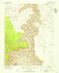
Other maps of this area

1886 · Echo Cliffs
USGS Topo · 1:250,000

1891 · Echo Cliffs
USGS Topo · 1:250,000
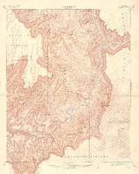
1907 · Vishnu
USGS Topo · 1:48,000
1954 · Nankoweap
USGS Topo · 1:62,500
1954 · Shinumo Altar
USGS Topo · 1:62,500
1955 · Blue Spring
USGS Topo · 1:62,500

1956 · Marble Canyon
USGS Topo · 1:250,000

1959 · Marble Canyon
USGS Topo · 1:250,000

1961 · Marble Canyon
USGS Topo · 1:250,000
1962 · Vishnu Temple
USGS Topo · 1:62,500