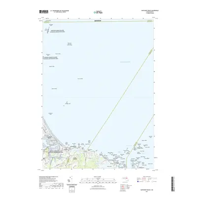
2021 Map of Nantasket Beach
USGS Topo · Published 2021About this map
Nantasket Beach and the rugged Massachusetts coastline define this coastal landscape, where the Boston Harbor Islands National Recreation Area protects offshore landmarks like The Graves and Harding Ledge. The map documents a complex maritime environment dominated by shoals and named hazards, including Thieves Ledge and Strawberry Ledge, which have historically challenged navigation into Boston.
Find a feature on this map
110 named features on this map. Tap any name to fly to it.
Don’t see what you’re looking for? This feature index may not catch every label — zoom into the map to look around manually.
Map Details
Editions of this 2021 Nantasket Beach Map
This is the sole edition of this map. No revisions or reprints were ever made.
Other maps of this area

1885 · Abington
USGS Topo · 1:62,500

1885 · Duxbury
USGS Topo · 1:62,500

1888 · Duxbury
USGS Topo · 1:62,500

1888 · Abington
USGS Topo · 1:62,500

1892 · Boston Bay
USGS Topo · 1:62,500

1893 · Abington
USGS Topo · 1:62,500

1893 · Duxbury
USGS Topo · 1:62,500

1903 · Boston Bay
USGS Topo · 1:62,500

1918 · Duxbury
USGS Topo · 1:62,500

1920 · Abington
USGS Topo · 1:62,500