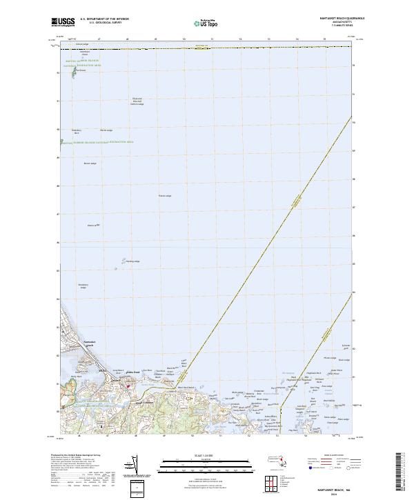
2024 Map of Nantasket Beach
USGS Topo · Published 2024About this map
Hull and Nantasket Beach dominate this coastal landscape, where the narrow peninsula stretches toward the hazardous waters of the Boston Harbor Islands National Recreation Area. The map reveals a densely settled corridor along Nantasket Ave, punctuated by significant coastal heights like Sagamore Hill, Hampton Hill, and Atlantic Hill. Inland, the settlement of North Cohasset sits near the tranquil Straits Pond and the Little Harbor Reservoir, illustrating the fine-grained residential development of the South Shore. Maritime navigation is a central theme, with the sea floor defined by countless hazards including Harding Ledge, Boston Ledge, and The Graves. Genealogists will find the Canterbury Street Cem near the southern boundary, while local historians can trace the evolution of old thoroughfares such as Jerusalem Rd and George Washington Blvd as they connect these historic seaside communities.
Find a feature on this map
119 named features on this map. Tap any name to fly to it.
Don’t see what you’re looking for? This feature index may not catch every label — zoom into the map to look around manually.
Map Details
Editions of this 2024 Nantasket Beach Map
This is the sole edition of this map. No revisions or reprints were ever made.
Other maps of this area

1885 · Abington
USGS Topo · 1:62,500

1885 · Duxbury
USGS Topo · 1:62,500

1888 · Duxbury
USGS Topo · 1:62,500

1888 · Abington
USGS Topo · 1:62,500

1892 · Boston Bay
USGS Topo · 1:62,500

1893 · Abington
USGS Topo · 1:62,500

1893 · Duxbury
USGS Topo · 1:62,500

1903 · Boston Bay
USGS Topo · 1:62,500

1918 · Duxbury
USGS Topo · 1:62,500

1920 · Abington
USGS Topo · 1:62,500