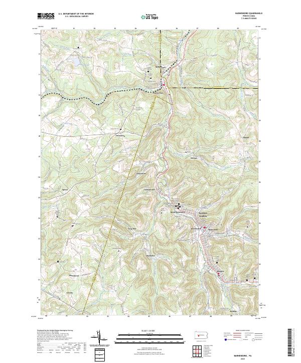
2023 Map of Nanty Glo
USGS Topo · Published 2023About this map
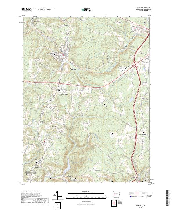
The borough of Nanty Glo and its surrounding coal-patch heritage are defined by the deep valleys of the South Branch Blacklick Creek and the Little Conemaugh River. This modern survey documents the contemporary landscape of Cambria County, where former rail corridors like the Ghost Town Trl now follow the paths once taken by the region’s industrial arteries. A significant concentration of ethnic and denominational cemeteries, such as the First Finnish Lutheran Cem and Holy Ascension Ukrainian Orthodox Church/Cem, reflects the diverse immigrant workforce that settled these mountain communities. The map highlights the transition from concentrated borough living in places like Revloc and Twin Rocks to the more dispersed residential patterns found at Mundys Corner and Vinco, while identifying local infrastructure like the Ebensburg Airport on the eastern plateau.
Find a feature on this map
131 named features on this map. Tap any name to fly to it.
Don’t see what you’re looking for? This feature index may not catch every label — zoom into the map to look around manually.
Map Details
Editions of this 2023 Nanty Glo Map
This is the sole edition of this map. No revisions or reprints were ever made.
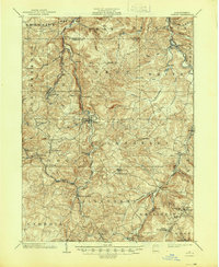
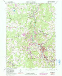
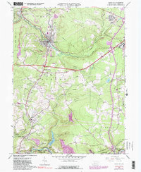
Historical Maps of Jackson Township Through Time
6 maps found