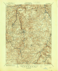
1904 Map of Patton
USGS Topo · Published 1945About this map
The West Branch Susquehanna River and Chest Creek carve through the high plateaus of Cambria and Clearfield Counties at the dawn of the 20th century. This area is characterized by a dense network of early religious and industrial settlements, such as St Bonifacius, St Lawrence, and St Augustine, reflecting the region's strong parochial roots and resource-based economy. The presence of the Pennsylvania Railroad, including its Cherry Tree and Dixonville Division, illustrates the critical role of rail transport in connecting coal-producing towns like Coalport and Patton to broader markets. Local commerce is further evidenced by landmarks such as Eckenrode Mill and the convergence of transport lines at Bradley Junction. Significant gaps in the Allegheny Front, such as Kittanning Gap and Burgoons Gap, provide the natural corridors that dictated the placement of roads and rails, while Wildwood Springs suggests early leisure or medicinal water destinations in this landscape.
Find a feature on this map
70 named features on this map. Tap any name to fly to it.
Don’t see what you’re looking for? This feature index may not catch every label — zoom into the map to look around manually.
Map Details
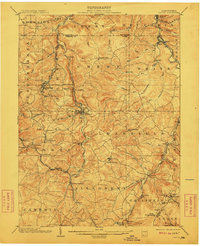
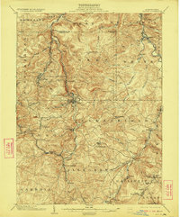
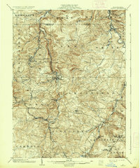
Editions of this 1904 Patton Map
5 editions found
Other maps of this area

1902 · Ebensburg
USGS Topo · 1:62,500

1902 · Patton
USGS Topo · 1:62,500

1902 · Barnesboro
USGS Topo · 1:62,500

1902 · Hollidaysburg
USGS Topo · 1:62,500

1903 · Curwensville
USGS Topo · 1:62,500

1903 · Hollidaysburg
USGS Topo · 1:62,500

1903 · Houtzdale
USGS Topo · 1:62,500

1904 · Barnesboro
USGS Topo · 1:62,500

1904 · Patton
USGS Topo · 1:62,500

1904 · Ebensburg
USGS Topo · 1:62,500