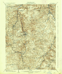
1904 Map of Patton
USGS Topo · Published 1937About this map
Patton and its neighboring coal and lumber towns define the landscape of Cambria and Clearfield counties at the turn of the century. The region's industrial character is established by a dense network of transport, including the Pennsylvania RR and the specialized Cresson and Clearfield RR and Coal Co, which serviced the rugged interior. Settled pockets like Hastings, Carrolltown, and Chest Springs are connected by winding roads and proximity to vital water sources such as Chest Creek and Clearfield Creek. Smaller family and industrial landmarks like Eckenrode Mill, Thomas Mills, and the junction at Bradley Junction highlight a period where local commerce was deeply tied to the specific topography of the Allegheny front. The map documents the early infrastructure of the bituminous coal region, from the siding at Tunnel Siding to the spiritual and social centers of St Bonifacius and St Augustine.
Find a feature on this map
78 named features on this map. Tap any name to fly to it.
Don’t see what you’re looking for? This feature index may not catch every label — zoom into the map to look around manually.
Map Details
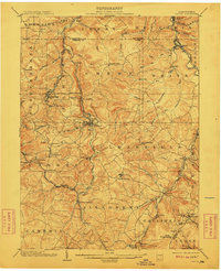
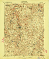
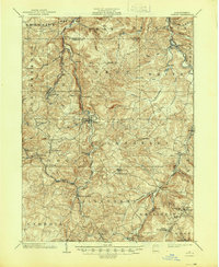
Editions of this 1904 Patton Map
5 editions found
Other maps of this area

1902 · Ebensburg
USGS Topo · 1:62,500

1902 · Patton
USGS Topo · 1:62,500

1902 · Barnesboro
USGS Topo · 1:62,500

1902 · Hollidaysburg
USGS Topo · 1:62,500

1903 · Curwensville
USGS Topo · 1:62,500

1903 · Hollidaysburg
USGS Topo · 1:62,500

1903 · Houtzdale
USGS Topo · 1:62,500

1904 · Barnesboro
USGS Topo · 1:62,500

1904 · Patton
USGS Topo · 1:62,500

1904 · Ebensburg
USGS Topo · 1:62,500