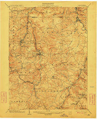
1904 Map of Patton
USGS Topo · Published 1911About this map
Patton stands at the center of this early twentieth-century survey, where the Pennsylvania R. R. follows the winding course of Chest Creek. This portion of the Allegheny Front is defined by its deep relationship with the extraction industry and rail transport, evidenced by the Mitchell Mines near Hastings and the numerous rail sidings and junctions like Tunnel Siding and Bradley Junction. The landscape is dotted with Catholic cultural footprints in settlements such as St Bonifacius, St Augustine, and Carrolltown, reflecting the immigrant labor patterns of the northern Cambria County coal fields.
Find a feature on this map
98 named features on this map. Tap any name to fly to it.
Don’t see what you’re looking for? This feature index may not catch every label — zoom into the map to look around manually.
Map Details
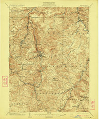
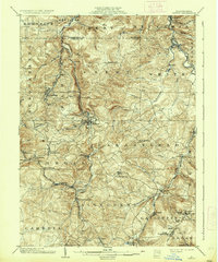
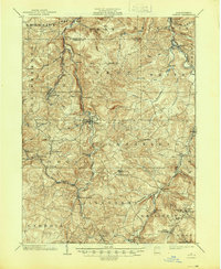
Editions of this 1904 Patton Map
5 editions found
Other maps of this area

1902 · Ebensburg
USGS Topo · 1:62,500

1902 · Patton
USGS Topo · 1:62,500

1902 · Barnesboro
USGS Topo · 1:62,500

1902 · Hollidaysburg
USGS Topo · 1:62,500

1903 · Curwensville
USGS Topo · 1:62,500

1903 · Hollidaysburg
USGS Topo · 1:62,500

1903 · Houtzdale
USGS Topo · 1:62,500

1904 · Barnesboro
USGS Topo · 1:62,500

1904 · Patton
USGS Topo · 1:62,500

1904 · Ebensburg
USGS Topo · 1:62,500