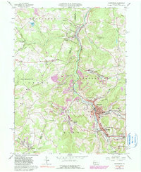
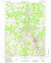
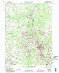
1961 Map of Barnesboro
USGS Topo · Published 1990About this map
The West Branch Susquehanna River cuts through the coal-rich hills of Cambria and Indiana Counties, defining a landscape shaped by early industrial extraction and close-knit borough life. The 1961 topography reveals the intensive footprint of the region's economy, with numerous Strip Mine operations and a Tipple near Emeigh serving the Conrail lines that follow the river valley. The dense corridor of Barnesboro, Spangler, and North Barnesboro serves as the civic heart of the area, anchored by essential local institutions like the Miners Hospital and Northern Cambria High Sch. Small settlements such as Garmantown and Marsteller are connected by a network of winding runs, including Cush Cushion Creek and Long Run. Genealogists will find significant value in the distribution of family and community landmarks, from the McDowell Cem and Salem Ch Cem to the many parochial schools and churches that reflect the area's heritage.
Find a feature on this map
76 named features on this map. Tap any name to fly to it.
Don’t see what you’re looking for? This feature index may not catch every label — zoom into the map to look around manually.
Map Details
Editions of this 1961 Barnesboro Map
6 editions found
Other maps of this area

1902 · Patton
USGS Topo · 1:62,500

1902 · Barnesboro
USGS Topo · 1:62,500

1903 · Curwensville
USGS Topo · 1:62,500

1904 · Barnesboro
USGS Topo · 1:62,500

1904 · Patton
USGS Topo · 1:62,500

1906 · Punxsutawney
USGS Topo · 1:62,500

1939 · Curwensville
USGS Topo · 1:62,500

1939 · Punxsutawney
USGS Topo · 1:62,500

1942 · Curwensville
USGS Topo · 1:62,500

1942 · Punxsutawney
USGS Topo · 1:62,500
Featured Places
- Northern Cambria, PA
- Cherry Tree, PA
- North Barnesboro, PA
- Watkins, Barr Township
- West Carroll Township, PA