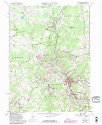
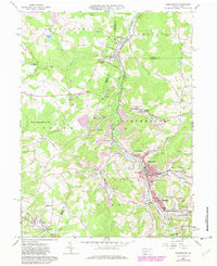
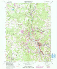
1961 Map of Barnesboro
USGS Topo · Published 1990About this map
The West Branch Susquehanna River cuts a deep valley through this corner of the Allegheny Plateau, where the coal industry fundamentally shaped the landscape. In the southeast, the boroughs of Barnesboro and Spangler serve as dense hubs of activity, featuring the Miners Hospital, Northern Cambria High Sch, and several parochial institutions like St Johns Sch. The heavy industrial footprint is evident in the numerous Strip Mine operations and Mine Dump sites that dot the hillsides surrounding Marsteller, Greenwich, and Emeigh.
Find a feature on this map
78 named features on this map. Tap any name to fly to it.
Don’t see what you’re looking for? This feature index may not catch every label — zoom into the map to look around manually.
Map Details
Editions of this 1961 Barnesboro Map
6 editions found
Other maps of this area

1902 · Patton
USGS Topo · 1:62,500

1902 · Barnesboro
USGS Topo · 1:62,500

1903 · Curwensville
USGS Topo · 1:62,500

1904 · Barnesboro
USGS Topo · 1:62,500

1904 · Patton
USGS Topo · 1:62,500

1906 · Punxsutawney
USGS Topo · 1:62,500

1939 · Curwensville
USGS Topo · 1:62,500

1939 · Punxsutawney
USGS Topo · 1:62,500

1942 · Curwensville
USGS Topo · 1:62,500

1942 · Punxsutawney
USGS Topo · 1:62,500
Featured Places
- Northern Cambria, PA
- Cherry Tree, PA
- North Barnesboro, PA
- Watkins, Barr Township
- West Carroll Township, PA