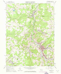
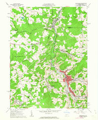
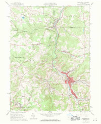
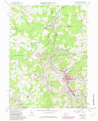
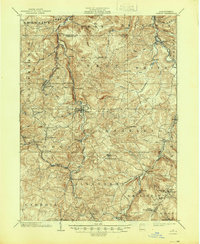
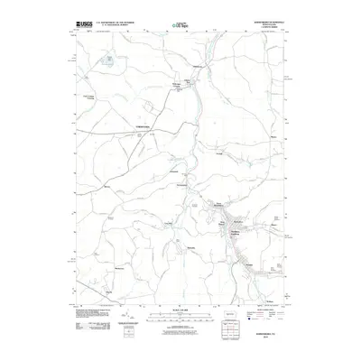
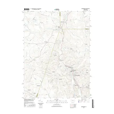
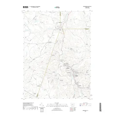
1961 Map of Barnesboro
USGS Topo · Published 1973About this map
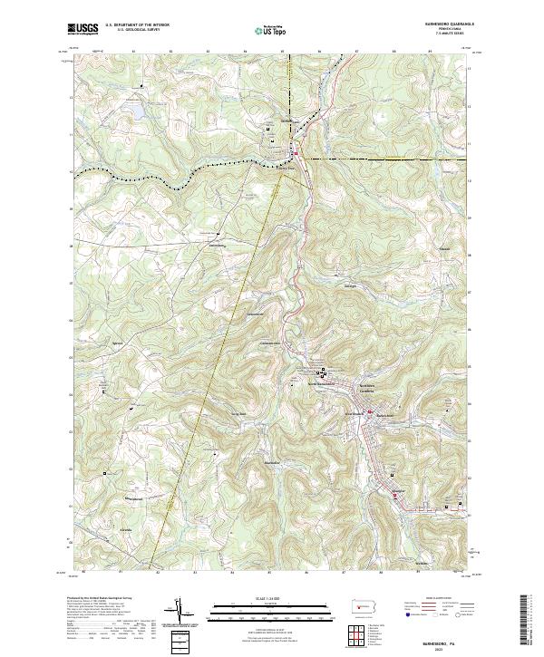
The West Branch Susquehanna River carves through the coal-rich landscape of northern Cambria County, anchoring a series of mining settlements including Barnesboro, Spangler, and Marsteller. By the early 1960s, the region’s industrial identity is etched into the topography through numerous strip mines and air shafts, many concentrated near the Penn Central rail lines. The map reveals a dense network of Catholic parochial schools such as St Stanislaus Sch and St Johns Sch, reflecting the cultural heritage of the mining workforce in these borough communities.
Find a feature on this map
78 named features on this map. Tap any name to fly to it.
Don’t see what you’re looking for? This feature index may not catch every label — zoom into the map to look around manually.
Map Details
Editions of this 1961 Barnesboro Map
6 editions found
Historical Maps of Northern Cambria Through Time
14 maps found

1902 Patton
Cambria County, PA
1904 Patton
Cambria County, PA
1961 Barnesboro
Cambria County, PA
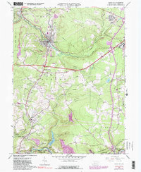
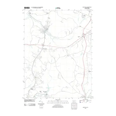
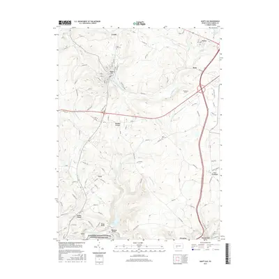
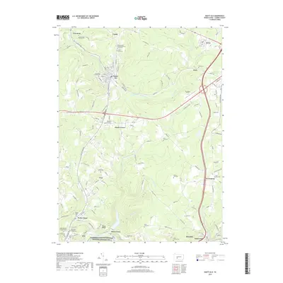
1964 Nanty Glo
Cambria County, PA
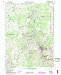
2010 Barnesboro
Cambria County, PA
2010 Nanty Glo
Cambria County, PA
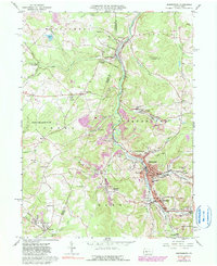
2013 Barnesboro
Cambria County, PA
2013 Nanty Glo
Cambria County, PA
2016 Barnesboro
Cambria County, PA
2016 Nanty Glo
Cambria County, PA
2019 Barnesboro
Cambria County, PA
2019 Nanty Glo
Cambria County, PA
2023 Barnesboro
Cambria County, PA
2023 Nanty Glo
Cambria County, PA
Featured Locations
- North Barnesboro, PA
- Northern Cambria, PA
- West Carroll Township, PA
- Cherry Tree, PA
- Watkins, Barr Township