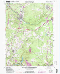
1964 Map of Nanty Glo
USGS Topo · Published 1991About this map
Industrial activity and institutional development define this portion of Cambria County, where the coal-rich banks of the South Branch Blacklick Creek meet the growing municipal centers of Nanty Glo and Revloc. The landscape is etched with the remnants of resource extraction, from numerous Mine Dump sites and Strip Mines to the Stewart Railroad Grade that once navigated these valleys. The eastern portion of the map is dominated by the sprawling campus of the Ebensburg State School and the Ebensburg Airport, showing the mid-century transition from a purely extractive economy to one of public service and infrastructure.
Find a feature on this map
52 named features on this map. Tap any name to fly to it.
Don’t see what you’re looking for? This feature index may not catch every label — zoom into the map to look around manually.
Map Details
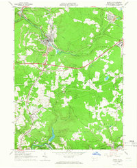
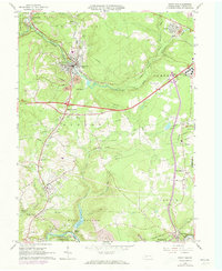
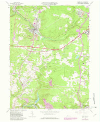
Editions of this 1964 Nanty Glo Map
4 editions found
Other maps of this area

1902 · Ebensburg
USGS Topo · 1:62,500

1902 · Patton
USGS Topo · 1:62,500

1902 · Barnesboro
USGS Topo · 1:62,500

1904 · Barnesboro
USGS Topo · 1:62,500

1904 · Patton
USGS Topo · 1:62,500

1904 · Ebensburg
USGS Topo · 1:62,500

1904 · Johnstown
USGS Topo · 1:62,500

1907 · Johnstown
USGS Topo · 1:62,500

1943 · Punxsutawney
USGS Topo · 1:125,000

1953 · Pittsburgh
USGS Topo · 1:250,000