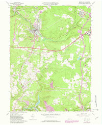
1964 Map of Nanty Glo
USGS Topo · Published 1982About this map
Nanty Glo and its surrounding coal-country landscape are defined by the industrial and transport networks of Cambria County. The Conrail lines and the remnant Old Railroad Stewart Grade trace the valley floors, connecting industrial hubs like Revloc and Cardiff with the larger Conemaugh River system. The map documents a complex infrastructure of strip mines and a large mine dump adjacent to the town center, contrasting with the preservation at the Allegheny Portage Railroad National Historic Site along the southern edge.
Find a feature on this map
52 named features on this map. Tap any name to fly to it.
Don’t see what you’re looking for? This feature index may not catch every label — zoom into the map to look around manually.
Map Details
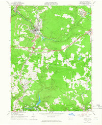
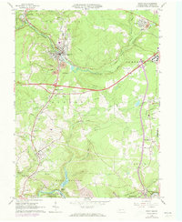
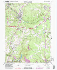
Editions of this 1964 Nanty Glo Map
4 editions found
Other maps of this area

1902 · Ebensburg
USGS Topo · 1:62,500

1902 · Patton
USGS Topo · 1:62,500

1902 · Barnesboro
USGS Topo · 1:62,500

1904 · Barnesboro
USGS Topo · 1:62,500

1904 · Patton
USGS Topo · 1:62,500

1904 · Ebensburg
USGS Topo · 1:62,500

1904 · Johnstown
USGS Topo · 1:62,500

1907 · Johnstown
USGS Topo · 1:62,500

1943 · Punxsutawney
USGS Topo · 1:125,000

1953 · Pittsburgh
USGS Topo · 1:250,000