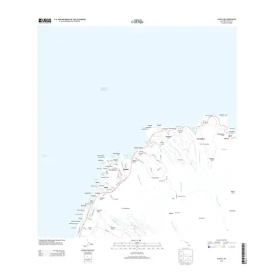
2013 Map of Napili
USGS Topo · Published 2013About this map
Heakalani Heiau stands as a significant cultural landmark overlooking the northern coast of Maui in this 2013 survey. The landscape transitions from the developed resort and residential hubs of Kapalua and Nāpili in the west to the deeply incised gulches and more traditional character of the Honokōhau region in the east. Infrastructure like the Honokōhau Tunnel and the Kapalua Airport illustrates the modern connectivity required for this corner of the island, while agricultural heritage remains visible through road names like Pineapple Hill Dr and Plantation Club Dr. Numerous coastal features, including the surf-famed Honolua Bay and the sands of Mokulē‘ia Beach, define the shoreline between the Pailolo Channel and the rugged points of Nākālele Point.
Find a feature on this map
109 named features on this map. Tap any name to fly to it.
Don’t see what you’re looking for? This feature index may not catch every label — zoom into the map to look around manually.
Map Details
Editions of this 2013 Napili Map
This is the sole edition of this map. No revisions or reprints were ever made.
Other maps of this area

1952 · Halawa
USGS Topo · 1:24,000

1954 · Maui
USGS Topo · 1:250,000

1955 · Wailuku
USGS Topo · 1:24,000

1955 · Kahakuloa
USGS Topo · 1:24,000

1956 · Lahaina
USGS Topo · 1:24,000

1956 · Honolua
USGS Topo · 1:24,000

1966 · Maui
USGS Topo · 1:250,000

1968 · Halawa
USGS Topo · 1:24,000

1974 · Maui
USGS Topo · 1:250,000

1977 · Wailuku
USGS Topo · 1:24,000