1977 Map of Wailuku
USGS Topo · Published 1981About this map
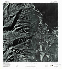
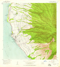
Wailuku and Kahului emerge as the central urban hubs on the island of Maui in the late 1970s, shown here in high-contrast detail via orthophotography. The map captures the transition from the deeply eroded ridges of the West Maui Mountains to the developed coastal plains. The dramatic shadows of Iao Valley dominate the western half of the sheet, illustrating the steep volcanic terrain that gives way to the agricultural and residential patterns of the central valley. To the north, the Waihee River flows toward the coast, where the urban grid of the towns meets the Pacific Ocean. This 1977 aerial perspective provides a unique view of Hawaii’s land use before later decades of expansion, documenting the exact footprint of sugar cane fields and burgeoning suburban neighborhoods at the time.
Find a feature on this map
6 named features on this map. Tap any name to fly to it.
Don’t see what you’re looking for? This feature index may not catch every label — zoom into the map to look around manually.
Map Details
Editions of this 1977 Wailuku Map
This is the sole edition of this map. No revisions or reprints were ever made.
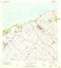
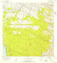
Other maps of this area

1954 · Maui
USGS Topo · 1:250,000
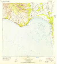
1954 · Maalaea
USGS Topo · 1:24,000
1954 · Paia
USGS Topo · 1:24,000
1954 · Puu O Kali
USGS Topo · 1:24,000
1955 · Olowalu
USGS Topo · 1:24,000

1955 · Wailuku
USGS Topo · 1:24,000

1955 · Kahakuloa
USGS Topo · 1:24,000
1956 · Lahaina
USGS Topo · 1:24,000

1956 · Honolua
USGS Topo · 1:24,000

1966 · Maui
USGS Topo · 1:250,000