
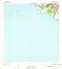
1955 Map of Olowalu
USGS Topo · Published 1957About this map
Olowalu and its coastal surroundings are depicted here in the mid-1950s, revealing an era of transition for Maui's leeward shore. The map centers on the historical sugar infrastructure of the Olowalu district, where the Mill (Ruins) and the Olowalu Wharf stand as markers of a departing industrial past. Native Hawaiian heritage is clearly documented through the presence of several sacred sites, including Kaiwaloa Heiau and an additional Heiau located further inland.
Find a feature on this map
31 named features on this map. Tap any name to fly to it.
Don’t see what you’re looking for? This feature index may not catch every label — zoom into the map to look around manually.
Map Details
Editions of this 1955 Olowalu Map
2 editions found
Other maps of this area

1929 · Kahoolawe
USGS Topo · 1:62,500

1954 · Maui
USGS Topo · 1:250,000

1954 · Maalaea
USGS Topo · 1:24,000

1955 · Wailuku
USGS Topo · 1:24,000

1956 · Lahaina
USGS Topo · 1:24,000

1966 · Maui
USGS Topo · 1:250,000

1974 · Maui
USGS Topo · 1:250,000

1977 · Wailuku
USGS Topo · 1:24,000
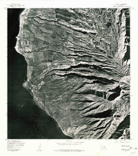
1978 · Lahaina
USGS Topo · 1:24,000
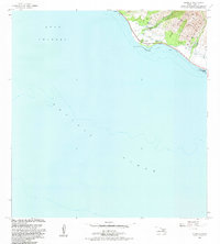
1983 · Olowalu
USGS Topo · 1:24,000