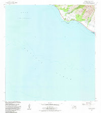
1983 Map of Olowalu
USGS Topo · Published 1983About this map
Olowalu is the primary coastal settlement on this portion of Maui, where the steep terrain of the West Maui Forest Reserve meets the Auau Channel. The landscape reflects a mix of traditional sites and agricultural infrastructure, notably the ancient Heiau and a cemetery marked Cem near the shore. Inland, water management is the dominant human feature, with the Olowalu Stream feeding into a network of siphons and reservoirs such as the Ukumehame Reservoir. The presence of the Olowalu Shaft 168 and another well at Mopua indicates the intensive effort to secure water for the area's development. Along the coast, the Olowalu Wharf and a Coral Reef define the maritime interface, while the southern edge is preserved as Ukumehame Beach State Park, illustrating the balance between utility and preservation in the early 1980s.
Find a feature on this map
27 named features on this map. Tap any name to fly to it.
Don’t see what you’re looking for? This feature index may not catch every label — zoom into the map to look around manually.
Map Details
Editions of this 1983 Olowalu Map
2 editions found
Other maps of this area

1929 · Kahoolawe
USGS Topo · 1:62,500

1954 · Maui
USGS Topo · 1:250,000

1954 · Maalaea
USGS Topo · 1:24,000

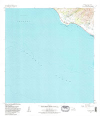
1955 · Olowalu
USGS Topo · 1:24,000

1955 · Wailuku
USGS Topo · 1:24,000

1956 · Lahaina
USGS Topo · 1:24,000

1966 · Maui
USGS Topo · 1:250,000

1974 · Maui
USGS Topo · 1:250,000

1977 · Wailuku
USGS Topo · 1:24,000
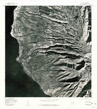
1978 · Lahaina
USGS Topo · 1:24,000