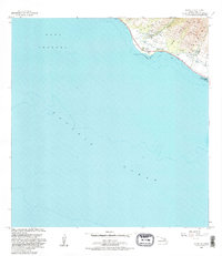
1983 Map of Olowalu
USGS Topo · Published 1983About this map
The coastal settlement of Olowalu and the neighboring community of Mopua anchor this 1983 study of West Maui's leeward shore. The landscape is defined by the sharp transition from the West Maui Forest Reserve and steep valleys like Ukumehame Gulch down to the coral reefs of the Auau Channel. Infrastructure for the region's agricultural past is evident in the presence of the Olowalu Shaft 168, several reservoirs, and a Siphon network. Cultural landmarks include a Heiau near the mouth of Olowalu Stream and the Olowalu Wharf, while the coastal Ukumehame Beach State Park marks the southeastern edge of the quadrangle. The map captures the area just as modern conservation and recreational interests began to overlay the older plantation-era water management systems.
Find a feature on this map
28 named features on this map. Tap any name to fly to it.
Don’t see what you’re looking for? This feature index may not catch every label — zoom into the map to look around manually.
Map Details
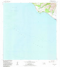
Editions of this 1983 Olowalu Map
2 editions found
Other maps of this area

1929 · Kahoolawe
USGS Topo · 1:62,500

1954 · Maui
USGS Topo · 1:250,000

1954 · Maalaea
USGS Topo · 1:24,000

1955 · Olowalu
USGS Topo · 1:24,000

1955 · Wailuku
USGS Topo · 1:24,000

1956 · Lahaina
USGS Topo · 1:24,000

1966 · Maui
USGS Topo · 1:250,000

1974 · Maui
USGS Topo · 1:250,000

1977 · Wailuku
USGS Topo · 1:24,000
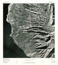
1978 · Lahaina
USGS Topo · 1:24,000