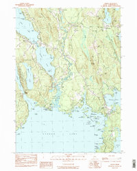
1983 Map of Naples
USGS Topo · Published 1984About this map
The Songo River and its historic Songo Lock serve as a central connection between Long Lake, Brandy Pond, and the northern reaches of Sebago Lake. This landscape is defined by its complex waterways and the lakeside settlements of Naples and South Casco. While the shoreline features recreation landmarks like Sebago Lake State Park and Camp Skylemar, the interior is dotted with reminders of the area’s early rural development. Numerous family burial grounds, including the Simpson Cem and Tubbs Cem, are located near the banks of the Crooked River. The eastern section around Pike Corner and Cook Mills shows the community structure of the time, anchored by the Casco Mem Sch and several country churches like the Bridgton Road Ch.
Find a feature on this map
100 named features on this map. Tap any name to fly to it.
Don’t see what you’re looking for? This feature index may not catch every label — zoom into the map to look around manually.
Map Details
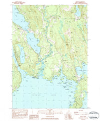
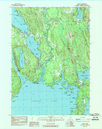
Editions of this 1983 Naples Map
3 editions found
Other maps of this area

1894 · Gray
USGS Topo · 1:62,500

1896 · Norway
USGS Topo · 1:62,500

1896 · Sebago
USGS Topo · 1:62,500

1898 · Gray
USGS Topo · 1:62,500

1908 · Poland
USGS Topo · 1:62,500

1940 · Poland
USGS Topo · 1:62,500

1942 · Poland
USGS Topo · 1:62,500

1942 · Gray
USGS Topo · 1:62,500

1942 · Sebago Lake
USGS Topo · 1:62,500

1943 · Sebago Lake
USGS Topo · 1:62,500