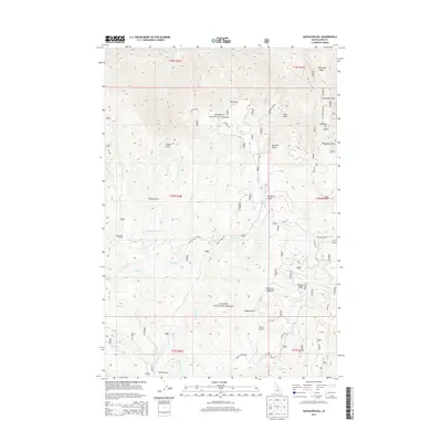
2013 Map of Napoleon Hill
USGS Topo · Published 2013About this map
Salmon National Forest dominates this section of Lemhi County, defined by a complex drainage system feeding the north-flowing Salmon River. The landscape is a network of named gulches and high ridges, including Napoleon Ridge and Jackass Ridge, which overlook remote clearings like Big Boulder Meadow and Racetrack Meadow. The map detail traces the intricate path of water through the territory, from Moose Creek and Little Moose Creek to the smaller Wetfoot Creek and Napias Creek. Access through this backcountry is represented by high-elevation tracks such as Moose Creek Rd and the Moose Cr Stock Rd, indicating the area's use for both transit and livestock management. Named features like Diamond Gulch, Coffee Gulch, and Sawmill Gulch reflect a history of localized prospecting or resource extraction common to this part of the Idaho wilderness.
Find a feature on this map
37 named features on this map. Tap any name to fly to it.
Don’t see what you’re looking for? This feature index may not catch every label — zoom into the map to look around manually.
Map Details
Editions of this 2013 Napoleon Hill Map
This is the sole edition of this map. No revisions or reprints were ever made.
Other maps of this area

1950 · Salmon
USGS Topo · 1:62,500

1950 · Leesburg
USGS Topo · 1:62,500

1951 · Leesburg
USGS Topo · 1:62,500

1951 · Salmon
USGS Topo · 1:62,500

1955 · Dillon
USGS Topo · 1:250,000

1956 · Elk City
USGS Topo · 1:250,000

1957 · Dillon
USGS Topo · 1:250,000

1958 · Dillon
USGS Topo · 1:250,000

1960 · Elk City
USGS Topo · 1:250,000

1960 · Ulysses Mtn
USGS Topo · 1:62,500