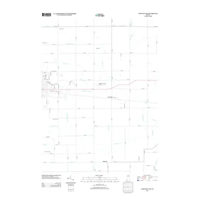
2013 Map of Nappanee East
USGS Topo · Published 2013About this map
Agricultural operations and an extensive drainage network characterize this portion of Elkhart and Kosciusko Counties. Named family holdings like Rummel Farms, Reed Farms, and Sheets Farm dominate the landscape, reflecting the area's deep-rooted farming heritage. The southeastern edge of Nappanee is visible, featuring residential developments near Stauffer Park and the industrial presence of the Nappanee Municipal Airport.
Find a feature on this map
84 named features on this map. Tap any name to fly to it.
Don’t see what you’re looking for? This feature index may not catch every label — zoom into the map to look around manually.
Map Details
Editions of this 2013 Nappanee East Map
This is the sole edition of this map. No revisions or reprints were ever made.
Other maps of this area

1950 · Leesburg
USGS Topo · 1:24,000

1951 · Milford
USGS Topo · 1:24,000

1953 · Fort Wayne
USGS Topo · 1:250,000

1953 · Chicago
USGS Topo · 1:250,000

1956 · Fort Wayne
USGS Topo · 1:250,000

1957 · Chicago
USGS Topo · 1:250,000

1958 · Nappanee West
USGS Topo · 1:24,000

1958 · Nappanee East
USGS Topo · 1:24,000

1958 · Bourbon
USGS Topo · 1:24,000

1959 · Atwood
USGS Topo · 1:24,000