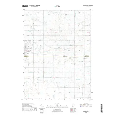
2019 Map of Nappanee East
USGS Topo · Published 2019About this map
Nappanee anchors the northwestern corner of this landscape, where the street grid of the city meets the expansive agricultural lands of Elkhart and Kosciusko Counties. The area is defined by an intricate network of managed waterways, including the Berlin Court Grand Ditch and the Fisher-Gordon Ditch, which drain the low-lying terrain to support the region's productive farms. These drainage patterns dictate the placement of rural roads and the small clusters of settlement that persist across the quadrangle.
Find a feature on this map
53 named features on this map. Tap any name to fly to it.
Don’t see what you’re looking for? This feature index may not catch every label — zoom into the map to look around manually.
Map Details
Editions of this 2019 Nappanee East Map
This is the sole edition of this map. No revisions or reprints were ever made.
Other maps of this area

1950 · Leesburg
USGS Topo · 1:24,000

1951 · Milford
USGS Topo · 1:24,000

1953 · Fort Wayne
USGS Topo · 1:250,000

1953 · Chicago
USGS Topo · 1:250,000

1956 · Fort Wayne
USGS Topo · 1:250,000

1957 · Chicago
USGS Topo · 1:250,000

1958 · Nappanee West
USGS Topo · 1:24,000

1958 · Nappanee East
USGS Topo · 1:24,000

1958 · Bourbon
USGS Topo · 1:24,000

1959 · Atwood
USGS Topo · 1:24,000