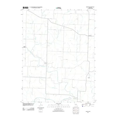
2012 Map of Napton
USGS Topo · Published 2012About this map
Napton and Wilton Springs sit within a landscape defined by the winding hydrology of Saline County. The area is a complex network of waterways, where the Salt Fork and Brush Creek converge before meeting the Blackwater River at the southern edge of the survey. The terrain is marked by numerous smaller tributaries like Shiloh Branch and Camp Creek, illustrating the drainage patterns that shaped local agricultural development.
Find a feature on this map
35 named features on this map. Tap any name to fly to it.
Don’t see what you’re looking for? This feature index may not catch every label — zoom into the map to look around manually.
Map Details
Editions of this 2012 Napton Map
This is the sole edition of this map. No revisions or reprints were ever made.
Other maps of this area

1887 · Sedalia
USGS Topo · 1:125,000

1888 · Boonville
USGS Topo · 1:125,000

1890 · Glasgow
USGS Topo · 1:125,000

1890 · Marshall
USGS Topo · 1:125,000

1892 · Marshall
USGS Topo · 1:125,000

1894 · Sedalia
USGS Topo · 1:125,000

1901 · Marshall
USGS Topo · 1:125,000

1940 · Marshall
USGS Topo · 1:62,500

1944 · Marshall
USGS Topo · 1:62,500

1947 · Glasgow
USGS Topo · 1:62,500