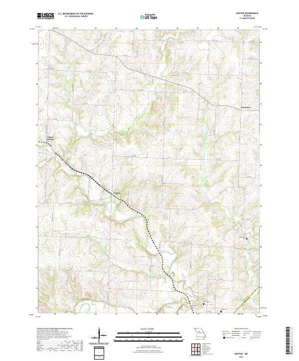
2021 Map of Napton
USGS Topo · Published 2021About this map
Napton and the surrounding rural landscapes of Saline County are defined by a complex network of waterways feeding into the Blackwater River at the southern boundary. This agricultural area is characterized by its numerous natural springs and tributary branches, including the notable Salt Branch Springs and Camp Creek. The settlement pattern is anchored by small communities such as Wilton Springs and Hardeman, connected by a grid of county roads like Watermill Rd and Mt Olive Rd. Local history is preserved in several family and community burial sites, including the Sappington Cem and Nelson Cem, which sit among the undulating terrain between Salt Fork and Flat Cr. The map details the transition from upland farms to the river bottoms, highlighting the importance of drainage and water access in this Missouri river valley region.
Find a feature on this map
59 named features on this map. Tap any name to fly to it.
Don’t see what you’re looking for? This feature index may not catch every label — zoom into the map to look around manually.
Map Details
Editions of this 2021 Napton Map
This is the sole edition of this map. No revisions or reprints were ever made.
Other maps of this area

1887 · Sedalia
USGS Topo · 1:125,000

1888 · Boonville
USGS Topo · 1:125,000

1890 · Glasgow
USGS Topo · 1:125,000

1890 · Marshall
USGS Topo · 1:125,000

1892 · Marshall
USGS Topo · 1:125,000

1894 · Sedalia
USGS Topo · 1:125,000

1901 · Marshall
USGS Topo · 1:125,000

1940 · Marshall
USGS Topo · 1:62,500

1944 · Marshall
USGS Topo · 1:62,500

1947 · Glasgow
USGS Topo · 1:62,500