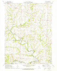
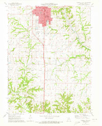
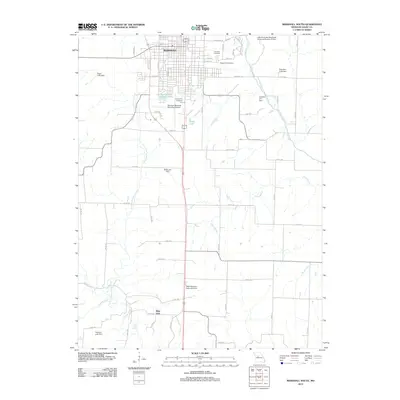
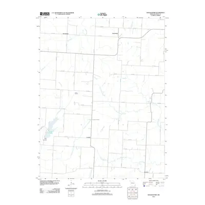
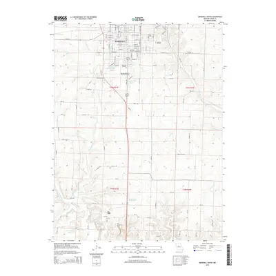
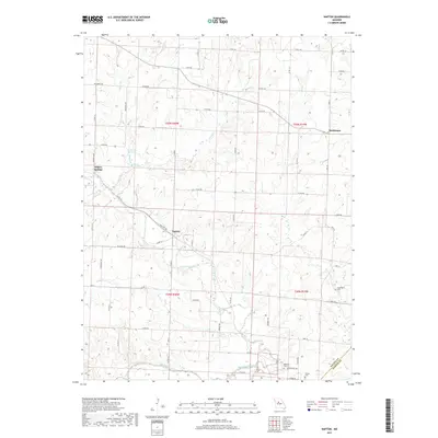
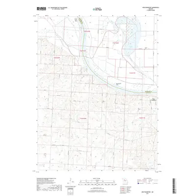
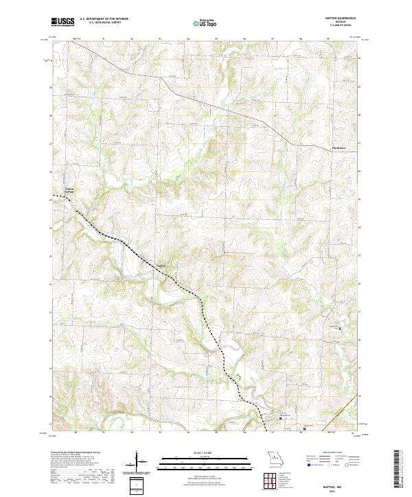
1971 Map of Napton
USGS Topo · Published 1973About this map
The confluence of the Blackwater River and the Salt Fork Missouri River anchors this central Missouri landscape in the early 1970s. The terrain is defined by its watercourses, from the winding Brush Creek and Camp Creek to the unique Salt Branch Springs found in the northwest. This topography reflects a late-century rural network where small settlements like Napton and Hardeman serve as local hubs.
Find a feature on this map
28 named features on this map. Tap any name to fly to it.
Don’t see what you’re looking for? This feature index may not catch every label — zoom into the map to look around manually.
Map Details
Editions of this 1971 Napton Map
This is the sole edition of this map. No revisions or reprints were ever made.
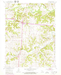
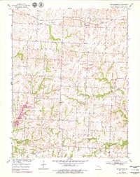
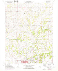
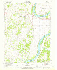
Historical Maps of Hardeman Through Time
35 maps found

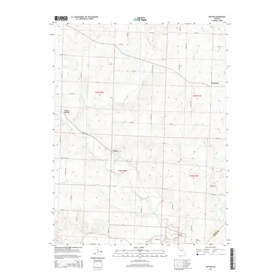
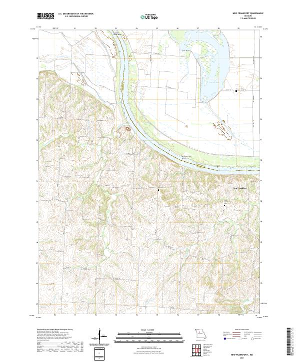
1951 New Frankfort
Saline County, MO
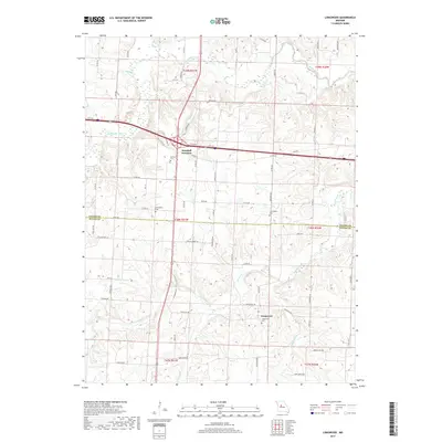
1953 Longwood
Saline County, MO
1953 Shackleford
Saline County, MO
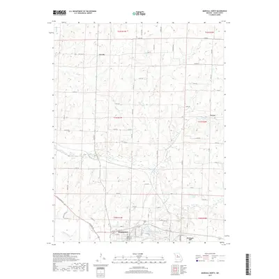
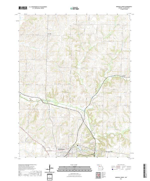
1971 Marshall North
Saline County, MO
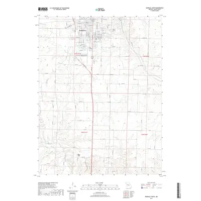
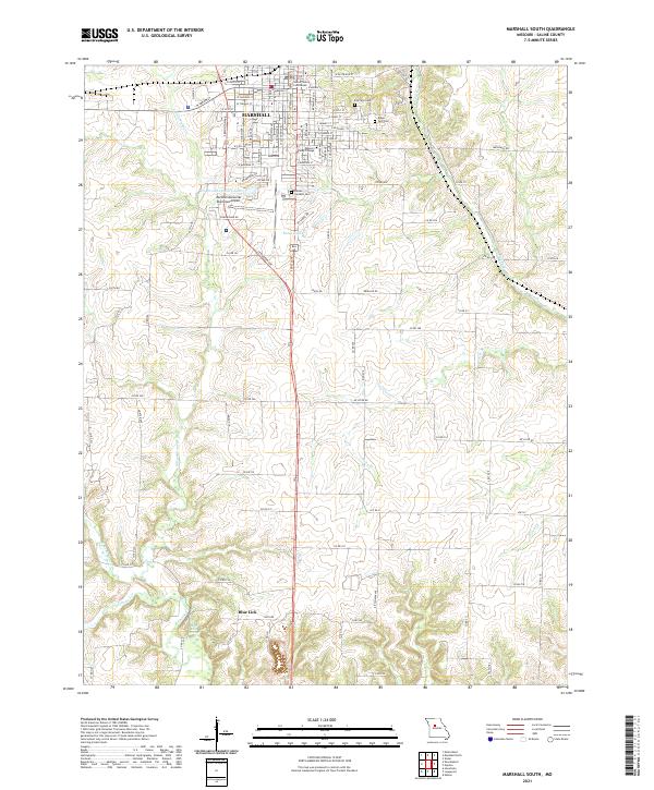
1971 Marshall South
Saline County, MO
1971 Napton
Saline County, MO
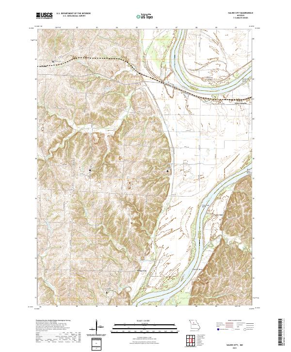
1971 Saline City
Saline County, MO
2011 Longwood
Saline County, MO
2012 Marshall North
Saline County, MO
2012 Marshall South
Saline County, MO
2012 Napton
Saline County, MO
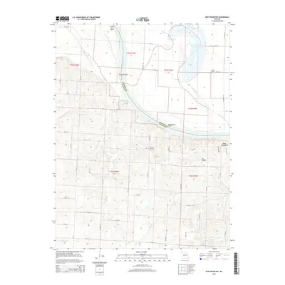
2012 New Frankfort
Saline County, MO
2012 Saline City
Saline County, MO
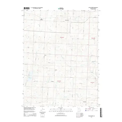
2012 Shackleford
Saline County, MO
2014 Longwood
Saline County, MO
2014 Saline City
Saline County, MO
2015 Marshall North
Saline County, MO
2015 Marshall South
Saline County, MO
2015 Napton
Saline County, MO
2015 New Frankfort
Saline County, MO
2015 Shackleford
Saline County, MO
2017 Longwood
Saline County, MO
2017 Marshall North
Saline County, MO
2017 Marshall South
Saline County, MO
2017 Napton
Saline County, MO
2017 New Frankfort
Saline County, MO
2017 Saline City
Saline County, MO
2017 Shackleford
Saline County, MO
2021 Longwood
Saline County, MO
2021 Marshall North
Saline County, MO
2021 Marshall South
Saline County, MO
2021 Napton
Saline County, MO
2021 New Frankfort
Saline County, MO
2021 Saline City
Saline County, MO
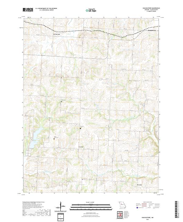
2021 Shackleford
Saline County, MO