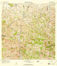
1969 Map of Naranjito
USGS Topo · Published 1988About this map
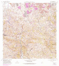
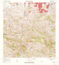
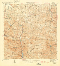
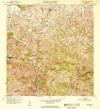
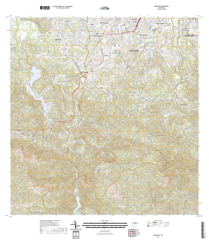
Río de la Plata winds through the heart of this landscape, carving a deep valley that separates the municipal districts of Naranjito and Bayamón. The 1969 field-checked data, updated with 1982 edits, reveals a transition from the agricultural highlands of Anones and Cedrito to the emerging urban centers like Royal Town and Santa Juanita. The map highlights the vital utility infrastructure of the era, including the Planta Hidroeléctrica Comerío Núm 2 and the Represa de Comerío, which harnessed the river for power. Numerous rural educational centers, such as Escuela Don Manolo and Escuela Juan Asencio III, are distributed throughout the barrios, illustrating the decentralized social structure of the Puerto Rican interior. High-elevation landmarks like Cerro Avispa and the Antenas de Radio (WKAQ) overlook a network of winding roads like PR 164 and PR 167 that connected these mountain communities.
Find a feature on this map
114 named features on this map. Tap any name to fly to it.
Don’t see what you’re looking for? This feature index may not catch every label — zoom into the map to look around manually.
Map Details
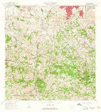
Editions of this 1969 Naranjito Map
3 editions found

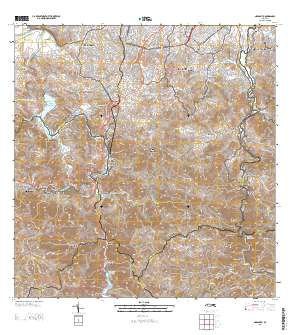
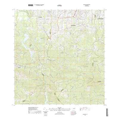
Historical Maps of Naranjito Through Time
8 maps found
Featured Locations
- Sector González, Bayamón
- Sector La Capilla, Bayamón
- Villas del Olimpo, Bayamón
- Naranjito, Naranjito
- Sector Correa, Naranjito