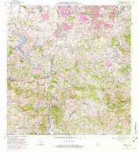
1969 Map of Naranjito
USGS Topo · Published 1982About this map
Lago La Plata snakes through the center of this terrain, serving as a primary hydrological artery for the region during the late 1960s. The landscape is defined by the steep transitions from the Río La Plata valley up to peaks like Cerro Avispa and Cerro Mula. Rapid suburban growth is evident in the northern sectors, where planned developments like Royal Town, Santa Juanita, and Pájaro Puertorriqueño expand the footprint of the metropolitan area into the hills.
Find a feature on this map
130 named features on this map. Tap any name to fly to it.
Don’t see what you’re looking for? This feature index may not catch every label — zoom into the map to look around manually.
Map Details
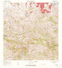
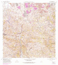
Editions of this 1969 Naranjito Map
3 editions found
Other maps of this area

1940 · Vega Alta
USGS Topo · 1:30,000

1941 · Bayamon
USGS Topo · 1:30,000

1941 · San Juan
USGS Topo · 1:30,000

1946 · Aguas Buenas
USGS Topo · 1:30,000

1946 · Corozal
USGS Topo · 1:30,000

1946 · Barranquitas
USGS Topo · 1:30,000

1946 · Vega Alta
USGS Topo · 1:30,000

1946 · Comerio
USGS Topo · 1:30,000

1946 · Naranjito
USGS Topo · 1:30,000

1946 · Caguas
USGS Topo · 1:30,000
Featured Places
- Naranjito
- Sector Correa, Naranjito
- Villas del Olimpo, Bayamón
- Sector La Capilla, Bayamón
- Sector González, Bayamón