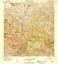
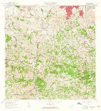
1952 Map of Naranjito
USGS Topo · Published 1953About this map
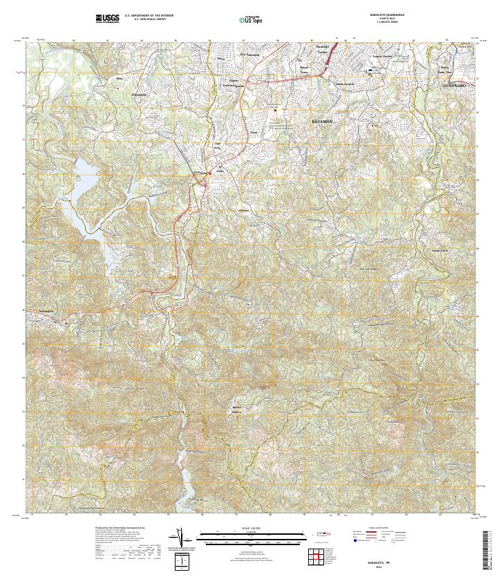
Rio de la Plata carves a deep, winding path through the central interior of Puerto Rico in this mid-century survey, anchoring a landscape of steep ridges and concentrated agricultural communities. The settlement of Naranjito serves as a primary hub, while the surrounding terrain is organized into distinct barrios such as Cerro Gordo, Pajaros, and Minillas. The map documents a significant network of spiritual and educational centers, including the Iglesia Parroquial Corazon de Jesus and Escuela Cerro Gordo, which speak to the social fabric of these rural communities. Infrastructure for water management is prominently featured, with the Represa de Comerio and Represa de San Juan regulating the flow of the region's numerous quebradas. The presence of multiple colonias, such as Colonia Santa Rosa and Colonia Sabana, indicates the persistent importance of plantation-style agriculture in the valleys during the early 1950s.
Find a feature on this map
87 named features on this map. Tap any name to fly to it.
Don’t see what you’re looking for? This feature index may not catch every label — zoom into the map to look around manually.
Map Details
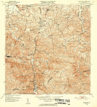
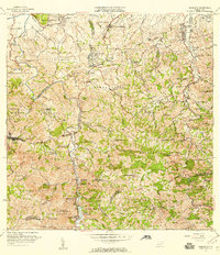
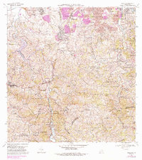
Editions of this 1952 Naranjito Map
2 editions found
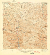
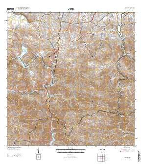
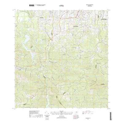
Historical Maps of Naranjito Through Time
8 maps found
Featured Locations
- Sector González, Bayamón
- Sector La Capilla, Bayamón
- Villas del Olimpo, Bayamón
- Naranjito, Naranjito
- Sector Correa, Naranjito