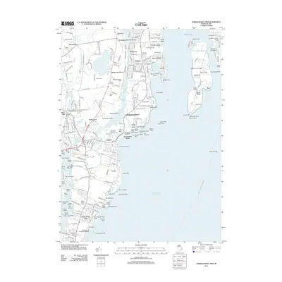
2012 Map of Narragansett Pier
USGS Topo · Published 2012About this map
Narragansett and its surrounding coastal communities are defined by the intricate relationship between the Atlantic shoreline and the tidal Pettaquamscutt River. This 2012 survey highlights the transition from traditional mill village heritage to modern academic and maritime hubs. The Peace Dale Museum of Primitive Culture and Nineteenth Century Mill Village preserves the area's industrial past, while the University of Rhode Island Bay Campus and Narragansett Marine Lab mark its contemporary role in marine research.
Find a feature on this map
169 named features on this map. Tap any name to fly to it.
Don’t see what you’re looking for? This feature index may not catch every label — zoom into the map to look around manually.
Map Details
Editions of this 2012 Narragansett Pier Map
This is the sole edition of this map. No revisions or reprints were ever made.
Other maps of this area

1889 · Charlestown
USGS Topo · 1:62,500

1889 · Newport
USGS Topo · 1:62,500

1890 · Narragansett Bay
USGS Topo · 1:62,500

1890 · Kent
USGS Topo · 1:62,500

1892 · Narragansett Bay
USGS Topo · 1:62,500

1894 · Kent
USGS Topo · 1:62,500

1894 · Newport
USGS Topo · 1:62,500

1904 · Newport
USGS Topo · 1:62,500

1919 · Charlestown
USGS Topo · 1:62,500

1919 · Narragansett Bay
USGS Topo · 1:62,500