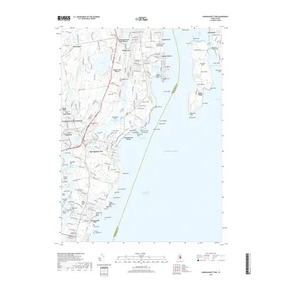
2018 Map of Narragansett Pier
USGS Topo · Published 2018About this map
Narragansett Pier and the neighboring villages of Wakefield and Peace Dale are the primary settlements shown along this coastal section of Rhode Island. The terrain is defined by the narrow Pettaquamscutt River and its accompanying coves, which separate the mainland from the Bonnet Shores and Boston Neck areas. The map details a landscape transition from dense residential clusters like Pettaquamscutt Lake Shores to the rocky shoreline of the Atlantic Ocean.
Find a feature on this map
214 named features on this map. Tap any name to fly to it.
Don’t see what you’re looking for? This feature index may not catch every label — zoom into the map to look around manually.
Map Details
Editions of this 2018 Narragansett Pier Map
This is the sole edition of this map. No revisions or reprints were ever made.
Other maps of this area

1889 · Charlestown
USGS Topo · 1:62,500

1889 · Newport
USGS Topo · 1:62,500

1890 · Narragansett Bay
USGS Topo · 1:62,500

1890 · Kent
USGS Topo · 1:62,500

1892 · Narragansett Bay
USGS Topo · 1:62,500

1894 · Kent
USGS Topo · 1:62,500

1894 · Newport
USGS Topo · 1:62,500

1904 · Newport
USGS Topo · 1:62,500

1919 · Charlestown
USGS Topo · 1:62,500

1919 · Narragansett Bay
USGS Topo · 1:62,500