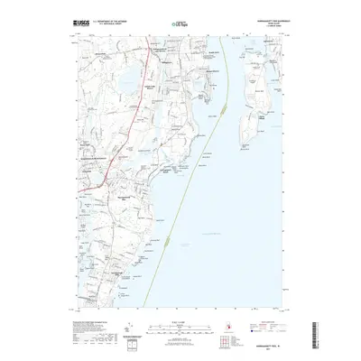
2021 Map of Narragansett Pier
USGS Topo · Published 2021About this map
Narragansett Pier and the surrounding coastal villages of South County appear here in detail, defined by the complex interface of the Atlantic Ocean and the Pettaquamscutt River. This 2021 survey shows a landscape heavily influenced by family history and coastal education, featuring numerous private burial grounds such as the Captain Christopher Gardner Lot Cem and the Honorable William Robinson Lot Cem. The presence of the University of Rhode Island Graduate School of Oceanography at South Ferry underscores the area's modern identity as a center for marine study.
Find a feature on this map
168 named features on this map. Tap any name to fly to it.
Don’t see what you’re looking for? This feature index may not catch every label — zoom into the map to look around manually.
Map Details
Editions of this 2021 Narragansett Pier Map
This is the sole edition of this map. No revisions or reprints were ever made.
Other maps of this area

1889 · Charlestown
USGS Topo · 1:62,500

1889 · Newport
USGS Topo · 1:62,500

1890 · Narragansett Bay
USGS Topo · 1:62,500

1890 · Kent
USGS Topo · 1:62,500

1892 · Narragansett Bay
USGS Topo · 1:62,500

1894 · Kent
USGS Topo · 1:62,500

1894 · Newport
USGS Topo · 1:62,500

1904 · Newport
USGS Topo · 1:62,500

1919 · Charlestown
USGS Topo · 1:62,500

1919 · Narragansett Bay
USGS Topo · 1:62,500