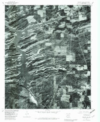
1980 Map of Narrows Dam
USGS Topo · Published 1982About this map
Lake Greeson dominates this orthophotographic study, its serpentine arms and numerous inlets reaching deep into the timbered terrain of Pike County. Captured through aerial photography in early 1980, the map illustrates the complex relationship between the managed reservoir and the surrounding highlands. The Narrows Dam stands at the southern end of the lake, regulating the flow of the Little Missouri River as it continues its course downstream. To the north, the small settlements of Daisy and Kirby appear as modest clearings and road junctions within the dense forest cover. This map is particularly useful for visualizing the specific shoreline contours and land use patterns of the era, combining traditional 1969 land lines with rectified photoimagery to show the exact footprint of human habitation against the Arkansas landscape.
Find a feature on this map
5 named features on this map. Tap any name to fly to it.
Don’t see what you’re looking for? This feature index may not catch every label — zoom into the map to look around manually.
Map Details
Editions of this 1980 Narrows Dam Map
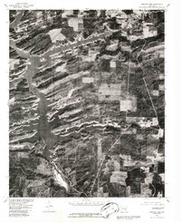
2 editions found
Other maps of this area

1906 · Caddo Gap
USGS Topo · 1:125,000

1936 · Athens
USGS Topo · 1:48,000

1936 · Glenwood
USGS Topo · 1:48,000

1942 · Glenwood
USGS Topo · 1:62,500

1942 · Athens
USGS Topo · 1:62,500

1949 · Glenwood
USGS Topo · 1:62,500

1955 · Little Rock
USGS Topo · 1:250,000

1956 · Little Rock
USGS Topo · 1:250,000

1960 · Little Rock
USGS Topo · 1:250,000

1964 · Little Rock
USGS Topo · 1:250,000