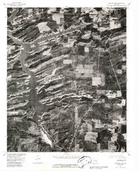
1980 Map of Narrows Dam
USGS Topo · Published 1986About this map
Lake Greeson dominates this 1980 orthophotograph, its intricate, finger-like shoreline reaching into the forested hills of Pike County. The impoundment of the Little Missouri River is anchored by Narrows Dam at the southern end of the sheet, a major engineering feature that transformed the local drainage and topography. This aerial perspective, prepared by the Geological Survey in cooperation with the Soil Conservation Service, reveals the specific patterns of land use and timber management surrounding the reservoir. Small clusters of development are visible at Daisy in the northwest and Kirby in the northeast, connected by a network of rural roads that navigate the ridges above the water. The map provides a high-resolution look at the interface between the controlled waters of the lake and the dense Arkansas woodlands during the early 1980s.
Find a feature on this map
5 named features on this map. Tap any name to fly to it.
Don’t see what you’re looking for? This feature index may not catch every label — zoom into the map to look around manually.
Map Details
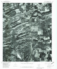
Editions of this 1980 Narrows Dam Map
2 editions found
Other maps of this area

1906 · Caddo Gap
USGS Topo · 1:125,000

1936 · Athens
USGS Topo · 1:48,000

1936 · Glenwood
USGS Topo · 1:48,000

1942 · Glenwood
USGS Topo · 1:62,500

1942 · Athens
USGS Topo · 1:62,500

1949 · Glenwood
USGS Topo · 1:62,500

1955 · Little Rock
USGS Topo · 1:250,000

1956 · Little Rock
USGS Topo · 1:250,000

1960 · Little Rock
USGS Topo · 1:250,000

1964 · Little Rock
USGS Topo · 1:250,000