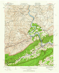
2022 Map of Narrows
USGS Topo · Published 2022About this map
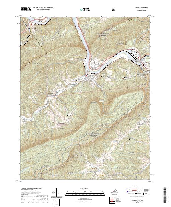
The New River carves a deep path through the Ridge-and-Valley Appalachians, defining the industrial and social layout of Narrows and Pearisburg. This landscape is dominated by the massive presence of Peters Mountain and East River Mtn, where the Appalachian National Scenic Trail winds along the high ridgelines. The river valley serves as the primary corridor for development, with Glen Lyn and Rich Creek positioned near the state line. Away from the main river, the terrain is dotted with small family burial grounds such as the Ratcliffe Family Cem and Hare Cem, illustrating the deep-seated settlement history of Wilburn Valley and the surrounding slopes of the Jefferson National Forest. The map also captures the quiet rural character of Thessalia, anchored by the Thessalia United Methodist Church near the banks of Sugar Run.
Find a feature on this map
109 named features on this map. Tap any name to fly to it.
Don’t see what you’re looking for? This feature index may not catch every label — zoom into the map to look around manually.
Map Details
Editions of this 2022 Narrows Map
This is the sole edition of this map. No revisions or reprints were ever made.
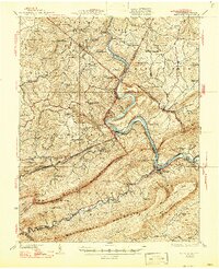
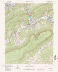
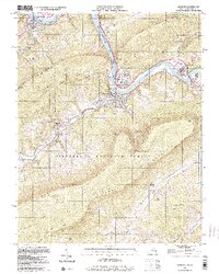
Historical Maps of Narrows Through Time
5 maps found