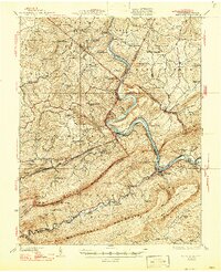
1937 Map of Narrows
USGS Topo · Published 1947About this map
The New River carves a deep path through the Appalachians, creating the dramatic geological gap known as The Narrows. This landscape is defined by the industrial and transport corridor established along the water, where the Norfolk and Western and Virginian railroads compete for passage through the tight river valley. Steep ridges like Peters Mountain and East River Mountain frame a region of scattered rural settlements and essential infrastructure, including the Hayes Dam Tunnel and the historic Shanklins Ferry.
Find a feature on this map
103 named features on this map. Tap any name to fly to it.
Don’t see what you’re looking for? This feature index may not catch every label — zoom into the map to look around manually.
Map Details
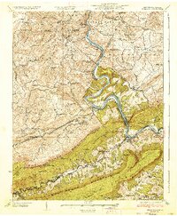
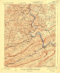
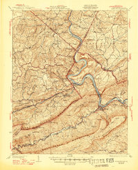
Editions of this 1937 Narrows Map
4 editions found
Other maps of this area

1887 · Pocahontas
USGS Topo · 1:125,000

1887 · Hinton
USGS Topo · 1:125,000

1890 · Dublin
USGS Topo · 1:125,000

1891 · Pocahontas
USGS Topo · 1:125,000

1891 · Dublin
USGS Topo · 1:125,000

1891 · Raleigh
USGS Topo · 1:125,000

1892 · Hinton
USGS Topo · 1:125,000

1894 · Pocahontas
USGS Topo · 1:125,000

1895 · Pocahontas
USGS Topo · 1:125,000

1897 · Raleigh
USGS Topo · 1:125,000