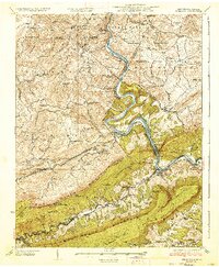
1937 Map of Narrows
USGS Topo · Published 1937About this map
The New River carves a dramatic path through the mountains of Virginia and West Virginia, anchoring this 1937 study of the borderlands. This survey illustrates a landscape defined by steep ridges like Peters Mountain and East River Mountain, where narrow gaps provided the only feasible routes for infrastructure. The Norfolk and Western and Virginian railroads trace the river's winding banks, supporting local industry at Narrows and the historic Mercers Saltworks. Rural life is meticulously documented through a dense network of one-room schoolhouses, including the Butler School and McKenzie School, and remote houses of worship such as New Zion Church. From the ferry crossing at Shanklins Ferry to the engineering of the Males Gap Tunnel, the map reveals how geography dictated the settlement patterns of families in Peterstown, Ballard, and Willowton PO.
Find a feature on this map
101 named features on this map. Tap any name to fly to it.
Don’t see what you’re looking for? This feature index may not catch every label — zoom into the map to look around manually.
Map Details
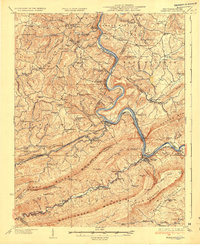
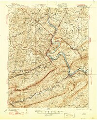
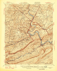
Editions of this 1937 Narrows Map
4 editions found
Other maps of this area

1887 · Pocahontas
USGS Topo · 1:125,000

1887 · Hinton
USGS Topo · 1:125,000

1890 · Dublin
USGS Topo · 1:125,000

1891 · Pocahontas
USGS Topo · 1:125,000

1891 · Dublin
USGS Topo · 1:125,000

1891 · Raleigh
USGS Topo · 1:125,000

1892 · Hinton
USGS Topo · 1:125,000

1894 · Pocahontas
USGS Topo · 1:125,000

1895 · Pocahontas
USGS Topo · 1:125,000

1897 · Raleigh
USGS Topo · 1:125,000