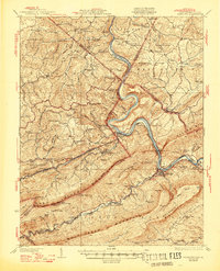
1937 Map of Narrows
USGS Topo · Published 1947About this map
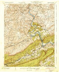
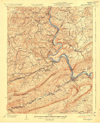
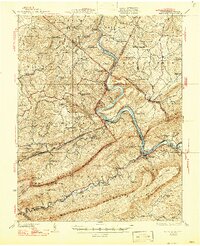
The New River snakes through the Appalachian ridges of the Virginia and West Virginia border in this survey, carving a dramatic path through The Narrows. This corridor serves as a vital transportation artery, where both the Norfolk and Western Railway and the Virginian Railway follow the water's edge through mountain gaps. The map reveals a densely settled rural landscape defined by industrial and agricultural history, featuring specialized sites like Muncys Saltworks and Shanklins Ferry. The settlement pattern is largely dictated by the terrain of Peters Mtn and East River Mountain, with dozens of small neighborhood institutions such as Scratchgravel School and Goodwill Chapel serving the residents of Peterstown, Glenlyn, and the surrounding hollows. Near the Hales Gap Tunnel, the infrastructure of the early 20th-century coal-hauling railroads is particularly evident as they navigate the steep topography.
Find a feature on this map
127 named features on this map. Tap any name to fly to it.
Don’t see what you’re looking for? This feature index may not catch every label — zoom into the map to look around manually.
Map Details
Editions of this 1937 Narrows Map
4 editions found
Other maps of this area

1887 · Pocahontas
USGS Topo · 1:125,000

1887 · Hinton
USGS Topo · 1:125,000

1890 · Dublin
USGS Topo · 1:125,000

1891 · Pocahontas
USGS Topo · 1:125,000

1891 · Dublin
USGS Topo · 1:125,000

1891 · Raleigh
USGS Topo · 1:125,000

1892 · Hinton
USGS Topo · 1:125,000

1894 · Pocahontas
USGS Topo · 1:125,000

1895 · Pocahontas
USGS Topo · 1:125,000

1897 · Raleigh
USGS Topo · 1:125,000