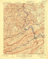
1937 Map of Narrows
USGS Topo · Published 1937About this map
The New River carves a sharp, winding path through the borderlands of Virginia and West Virginia, cutting directly through the massive ridge of Peters Mtn at the prominent gap near Narrows. This terrain dictates the industrial and transport layout of the 1930s, as the Norfolk and Western RR and the Virginian Ry flank the riverbanks, maneuvering through engineering feats like the Hales Gap Tunnel. The landscape is densely marked with family-named landmarks and rural infrastructure, including dozens of country schools like Scratchgravel School and Mudhole School.
Find a feature on this map
130 named features on this map. Tap any name to fly to it.
Don’t see what you’re looking for? This feature index may not catch every label — zoom into the map to look around manually.
Map Details
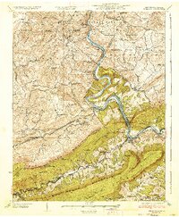
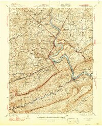
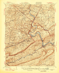
Editions of this 1937 Narrows Map
4 editions found
Other maps of this area

1887 · Pocahontas
USGS Topo · 1:125,000

1887 · Hinton
USGS Topo · 1:125,000

1890 · Dublin
USGS Topo · 1:125,000

1891 · Pocahontas
USGS Topo · 1:125,000

1891 · Dublin
USGS Topo · 1:125,000

1891 · Raleigh
USGS Topo · 1:125,000

1892 · Hinton
USGS Topo · 1:125,000

1894 · Pocahontas
USGS Topo · 1:125,000

1895 · Pocahontas
USGS Topo · 1:125,000

1897 · Raleigh
USGS Topo · 1:125,000