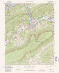
1965 Map of Narrows
USGS Topo · Published 1986About this map
The Narrows forms a dramatic gap where the New River carves through the Appalachian ridges, creating a natural corridor for the Norfolk and Western railway and Highway 460. This mid-1960s survey captures the town of Narrows at a point of industrial and residential stability, surrounded by the steep slopes of Peters Mountain and East River Mountain. In the south, the Appalachian Trail winds along the crests within the Jefferson National Forest, passing notable landmarks like Angels Rest. Local genealogy is well-preserved through family-named sites such as Woolwine Cem, Blankenship Cem, and the small settlement at Shumate. The map further details the local infrastructure, from the Narrows High Sch to the Radio Tower (WNRV) overlooking Bluff City.
Find a feature on this map
43 named features on this map. Tap any name to fly to it.
Don’t see what you’re looking for? This feature index may not catch every label — zoom into the map to look around manually.
Map Details
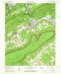
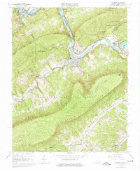
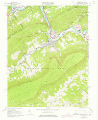
Editions of this 1965 Narrows Map
4 editions found
Other maps of this area

1890 · Dublin
USGS Topo · 1:125,000

1891 · Dublin
USGS Topo · 1:125,000

1913 · Peterstown
USGS Topo · 1:48,000

1916 · Peterstown
USGS Topo · 1:62,500

1923 · Pearisburg
USGS Topo · 1:62,500

1925 · Peterstown
USGS Topo · 1:62,500

1932 · Peterstown
USGS Topo · 1:48,000

1932 · Pearisburg
USGS Topo · 1:48,000

1934 · Pulaski
USGS Topo · 1:48,000

1937 · Pearisburg
USGS Topo · 1:62,500