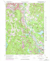
1965 Map of Nashua South
USGS Topo · Published 1979About this map
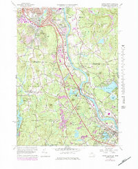
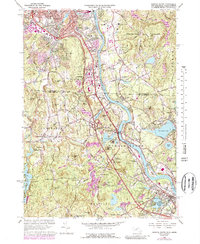
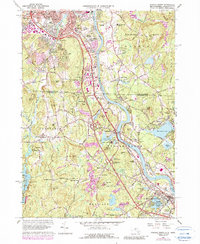
The Merrimack River corridor defines this landscape, serving as the border between New Hampshire and Massachusetts as it flows toward the industrial centers to the south. In the late 1960s, the area reflects a blend of traditional New England village centers and growing suburban infrastructure. The Boston and Maine railroad tracks parallel the river, while the modern Everett Turnpike bypasses the historic core of Nashua to the west. Educational and religious institutions are prominent landmarks, including Rivier College and the St Josephs Novitiate. Away from the river, the terrain rises into a series of named heights such as Spectacle Hill and Abrams Hill, interspersed with numerous ponds like Flint Pond and Mascuppic Lake. Small agricultural or residential crossroads such as Frederick Corner and Whidden Corner persist alongside active industrial sites like the Fletcher Quarry.
Find a feature on this map
122 named features on this map. Tap any name to fly to it.
Don’t see what you’re looking for? This feature index may not catch every label — zoom into the map to look around manually.
Map Details
Editions of this 1965 Nashua South Map
7 editions found
Other maps of this area

1886 · Lowell
USGS Topo · 1:62,500

1893 · Lowell
USGS Topo · 1:62,500

1893 · Groton
USGS Topo · 1:62,500

1905 · Manchester
USGS Topo · 1:62,500

1906 · Milford
USGS Topo · 1:62,500

1918 · Lowell
USGS Topo · 1:62,500

1921 · Lowell
USGS Topo · 1:62,500

1931 · Lowell
USGS Topo · 1:48,000

1931 · Groton
USGS Topo · 1:48,000

1935 · Ayer
USGS Topo · 1:24,000