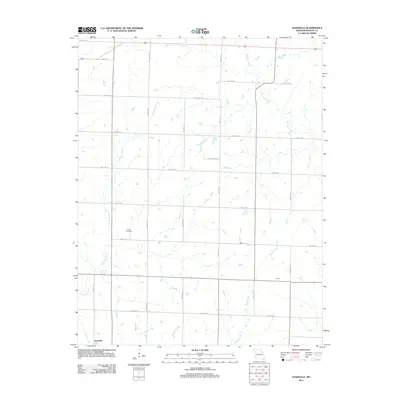
2011 Map of Nashville
USGS Topo · Published 2011About this map
Nashville anchors the southwestern corner of this southwestern Missouri landscape, where the rural grid of Barton County meets a network of slow-moving waterways. The terrain is defined by the convergence of several streams, including the Little North Fork and the meandering West Fork River to the north, which give way to Duval Creek and Murphy Creek in the south. This area is characterized by a high density of local thoroughfares, many named according to their position in the regional grid, such as SW 30th Rd and SW 80th Ln. Settlement is sparse outside of the primary town, with the community of Duval situated along a straight east-west corridor in the southeast. For those researching family history in the region, the Pierce Cemetery is a prominent landmark located west of the central meridian, serving as a quiet focal point in this agricultural expanse.
Find a feature on this map
23 named features on this map. Tap any name to fly to it.
Don’t see what you’re looking for? This feature index may not catch every label — zoom into the map to look around manually.
Map Details
Editions of this 2011 Nashville Map
This is the sole edition of this map. No revisions or reprints were ever made.
Other maps of this area

1884 · Fort Scott
USGS Topo · 1:125,000

1886 · Nevada
USGS Topo · 1:125,000

1886 · Joplin
USGS Topo · 1:125,000

1886 · Fort Scott
USGS Topo · 1:125,000

1886 · Carthage
USGS Topo · 1:125,000

1893 · Fort Scott
USGS Topo · 1:125,000

1894 · Nevada
USGS Topo · 1:125,000

1894 · Joplin
USGS Topo · 1:125,000

1894 · Carthage
USGS Topo · 1:125,000

1945 · Pittsburg
USGS Topo · 1:62,500