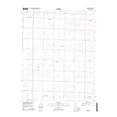
2015 Map of Nashville
USGS Topo · Published 2015About this map
Nashville anchors the southwestern corner of this Barton County landscape, serving as a focal point for a region defined by its agricultural grid and intermittent watercourses. The terrain is etched by the Little N Fork and Duval Cr, with several small water bodies including Suiters Lake, Beans Lake, and Marti Lake punctuating the prairie. Genealogists and local historians will find significant value in the documentation of the Nashville Cemetery and the Pierce Cemetery, which sit among the section lines of the Public Land Survey System. The map reveals a highly structured rural environment where roads like SW 50th Rd and SW 80th Rd follow the rigid township and range boundaries of t31n r32w and its neighbors, illustrating the enduring influence of 19th-century land division on the modern Missouri landscape.
Find a feature on this map
27 named features on this map. Tap any name to fly to it.
Don’t see what you’re looking for? This feature index may not catch every label — zoom into the map to look around manually.
Map Details
Editions of this 2015 Nashville Map
This is the sole edition of this map. No revisions or reprints were ever made.
Other maps of this area

1884 · Fort Scott
USGS Topo · 1:125,000

1886 · Nevada
USGS Topo · 1:125,000

1886 · Joplin
USGS Topo · 1:125,000

1886 · Fort Scott
USGS Topo · 1:125,000

1886 · Carthage
USGS Topo · 1:125,000

1893 · Fort Scott
USGS Topo · 1:125,000

1894 · Nevada
USGS Topo · 1:125,000

1894 · Joplin
USGS Topo · 1:125,000

1894 · Carthage
USGS Topo · 1:125,000

1945 · Pittsburg
USGS Topo · 1:62,500